|
|
Post by Kahloke on Aug 16, 2014 20:27:37 GMT -8
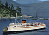
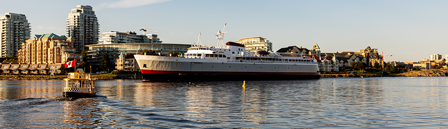
I'm creating this thread to post some scenic photos I took from a Cessna 172 this week, but I also figure it to be a good location for anyone's photos that happen to be taken from an airplane, helicopter, or some other flying contraption you happen to be on. Here are my pics I took on the flightseeing expedition this week, one that took me from Gig Harbor up to Orcas Island and back. It was really fun, and I even got to fly the plane for awhile. How's that for excitement! And, since I'm here to report about it, obviously I did not crash the plane  The starting point for this jourmey was Tacoma Narrows Airport in Gig Harbor Just as we lifted off the runway, we turned right, and flew over Fox Island for a bit. This is the bridge from the Gig Harbor Peninsula to Fox Island 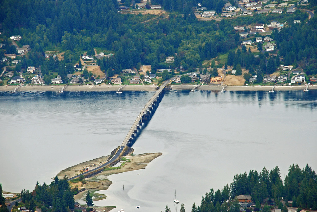 Fox Island, The Gig Harbor peninsula with Tacoma Narrows Airport, the twin Tacoma Narrows Bridges, and Tacoma in the background 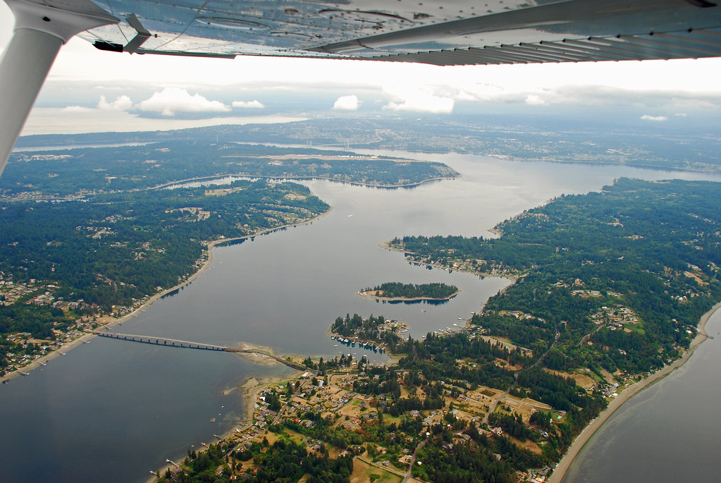 A few pics of Bremerton 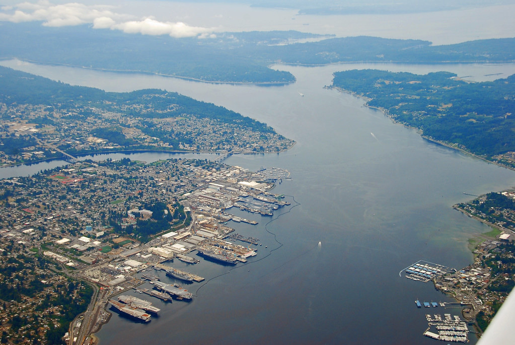 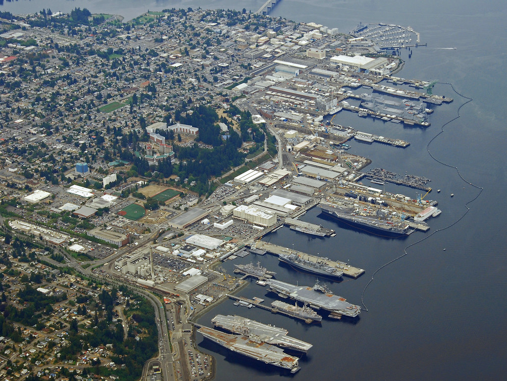 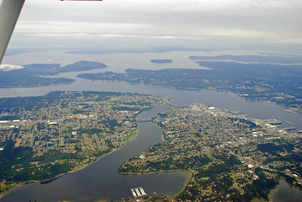 Poulsbo, where I used to live 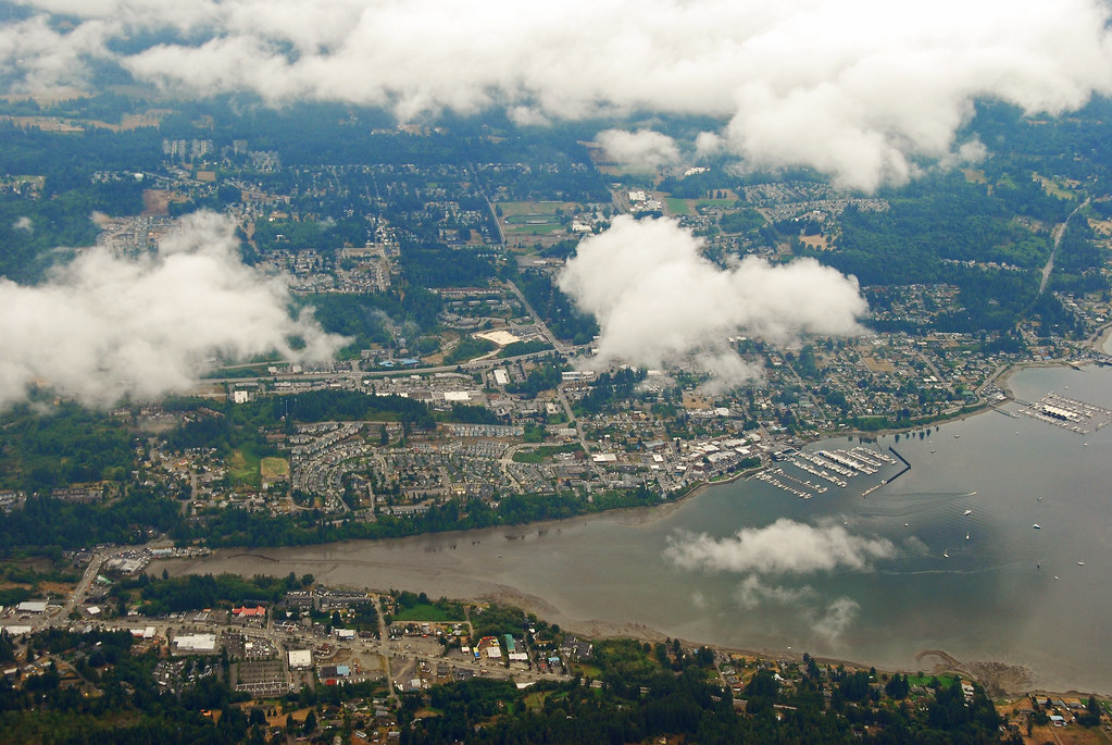 Whidbey Island at the bend. The bay on the inside is Penn Cove, and you can see the town of Coupeville on Penn Cove 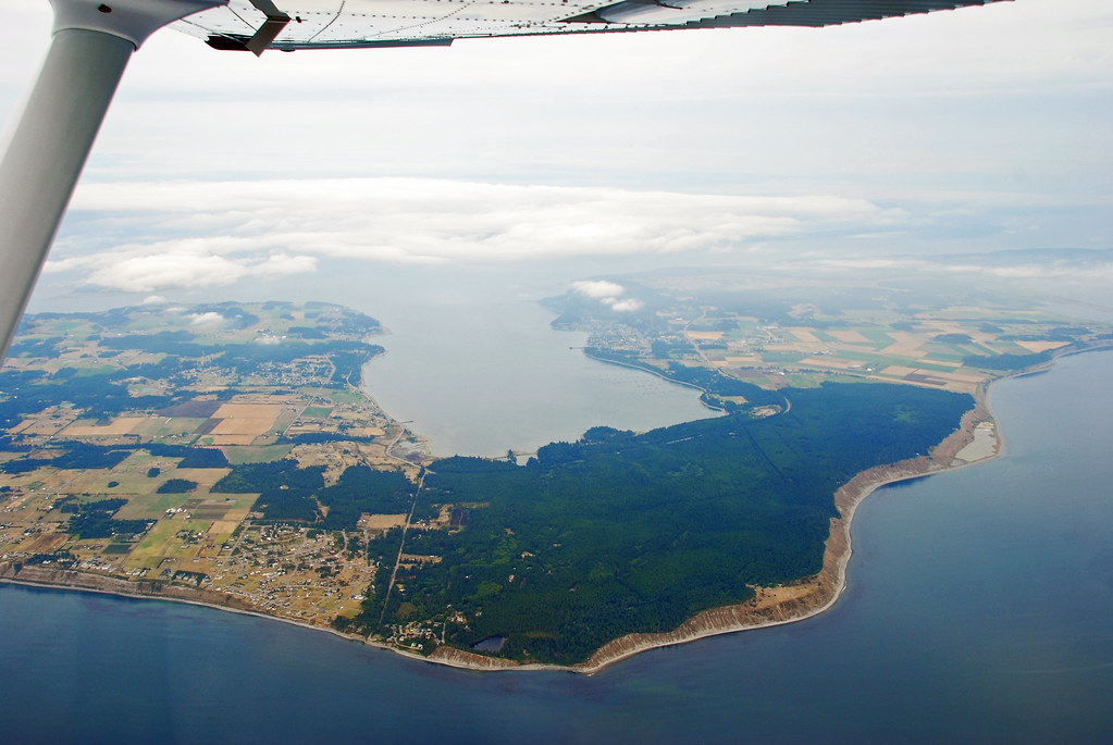 The San Juan Archipelago stretched out before us. The island we were coming up on is Lopez, followed by Shaw, then Orcas 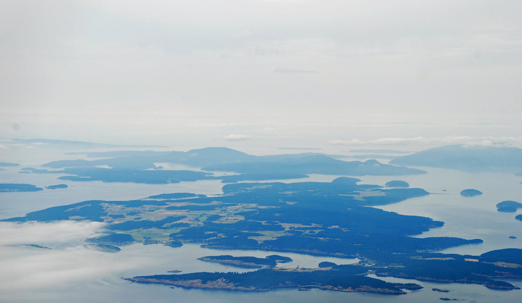 Lopez Island in the foreground; Blakely Island in the center; Decatur Island, Center Right 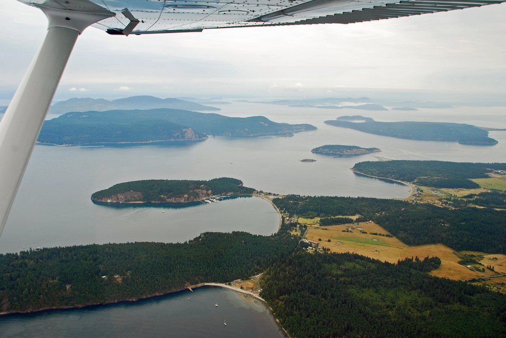 Approaching Eastsound on Orcas Island 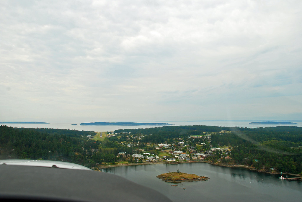 Some shots of Eastsound on our approach 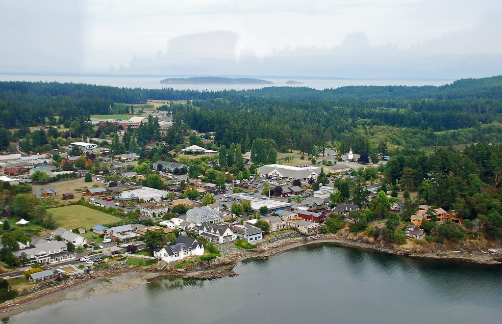 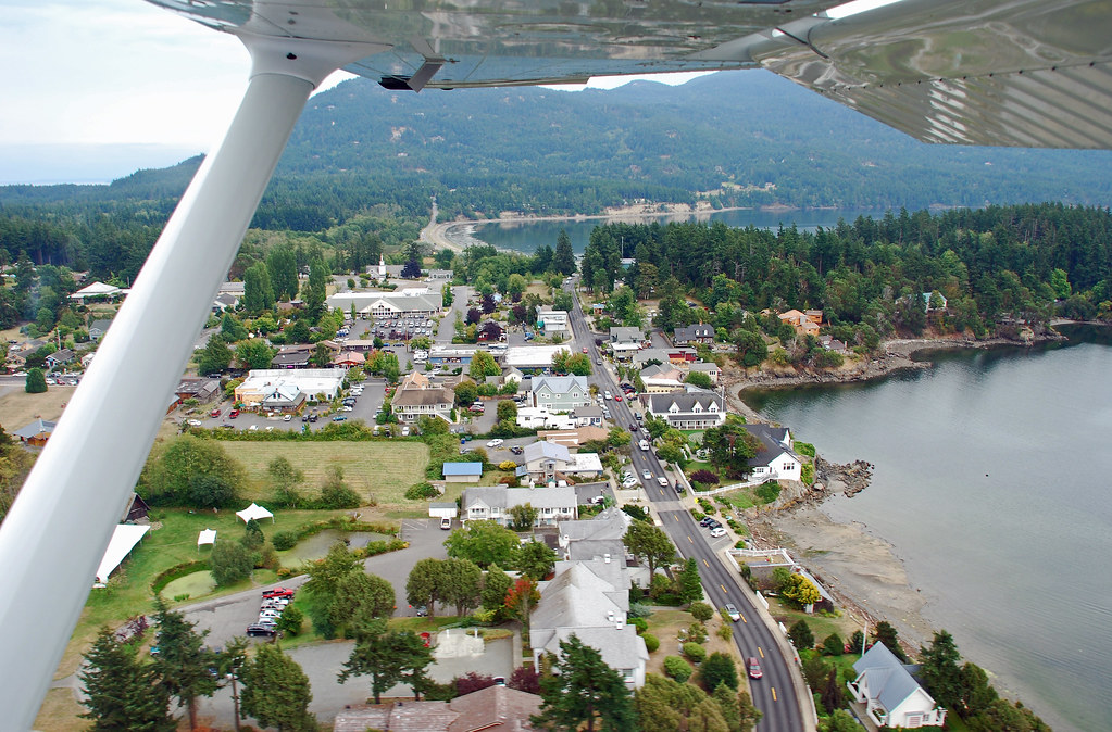 Short Final into KORS (Eastsound Airport) 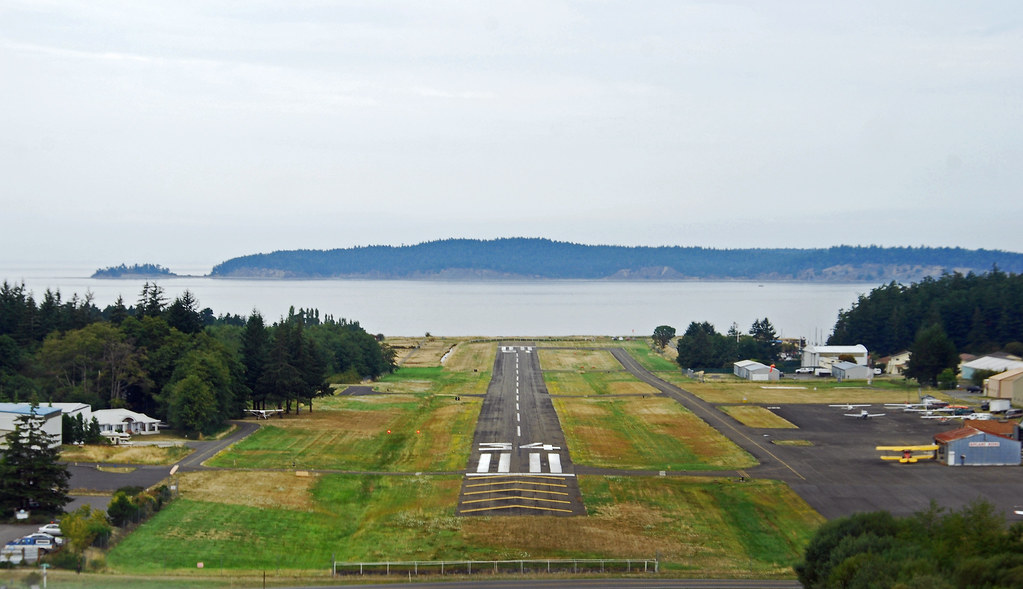 Flying over Friday Harbor on San Juan Island - MV Elwha is the ferry docked there 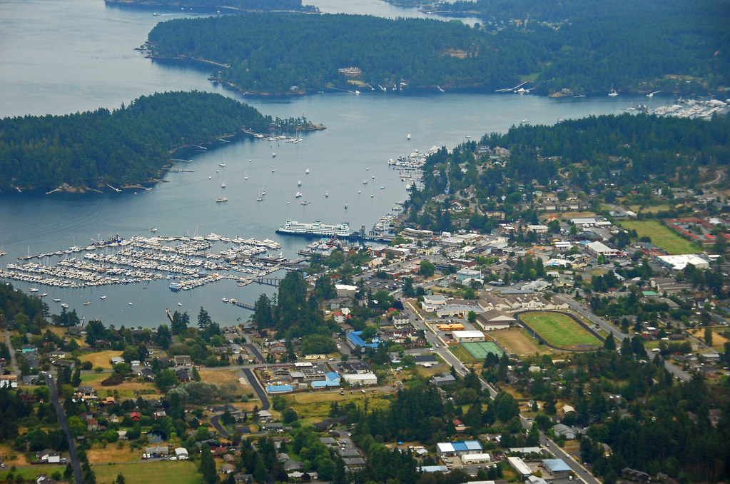 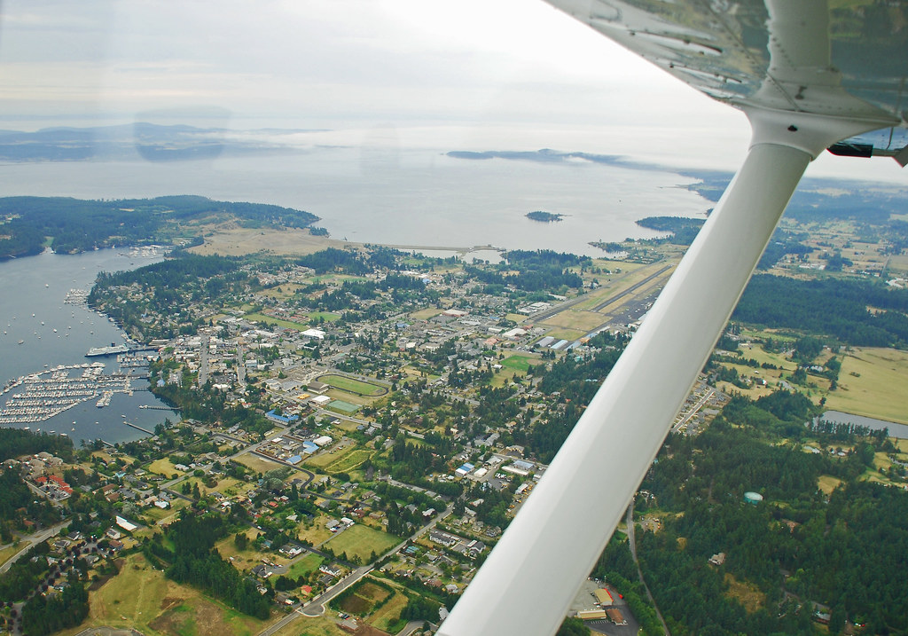 Over the south end of San Juan Island looking west towards the Strait of Juan De Fuca and Victoria. The fog was starting to roll in on the south shore 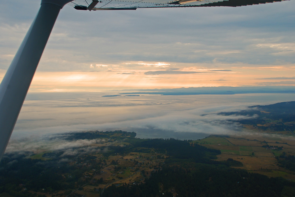 Gig Harbor, where I live now 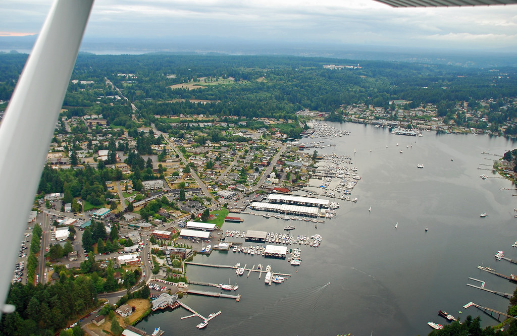 |
|
|
|
Post by Kahloke on Oct 8, 2014 11:56:34 GMT -8
Some pics from my last flight seeing excursion on Sunday, October 5, 2014: Commencement Bay, Port of Tacoma, and Mount Rainier 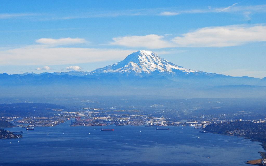 aerial view of West Seattle as we were flying over Duwamish Head 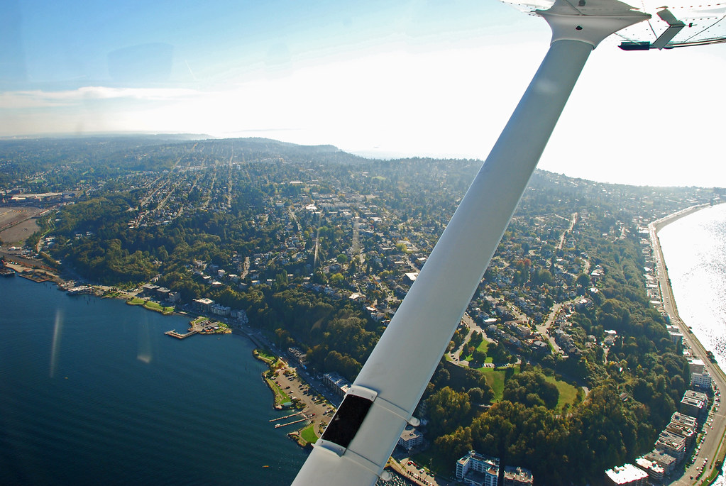 Port of Seattle and the stadiums - Century Link and Safeco Fields 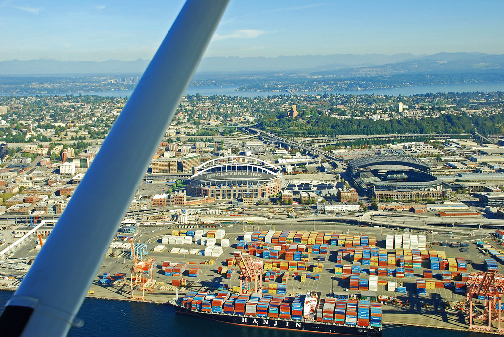 downtown Seattle 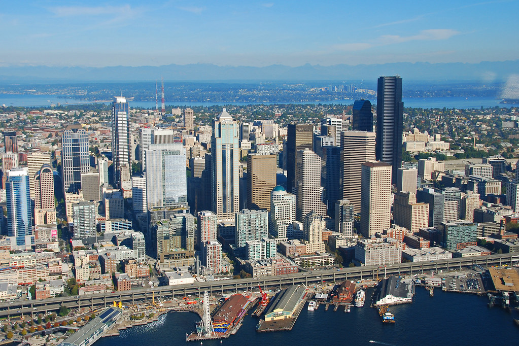 Space Needle and Seattle Center 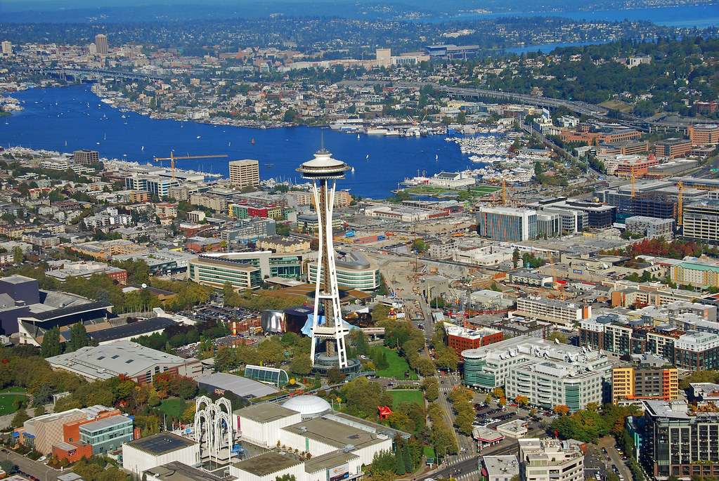 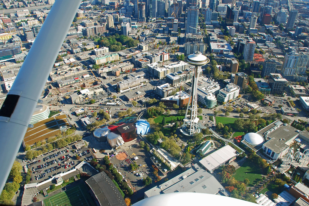 another view of Downtown Seattle 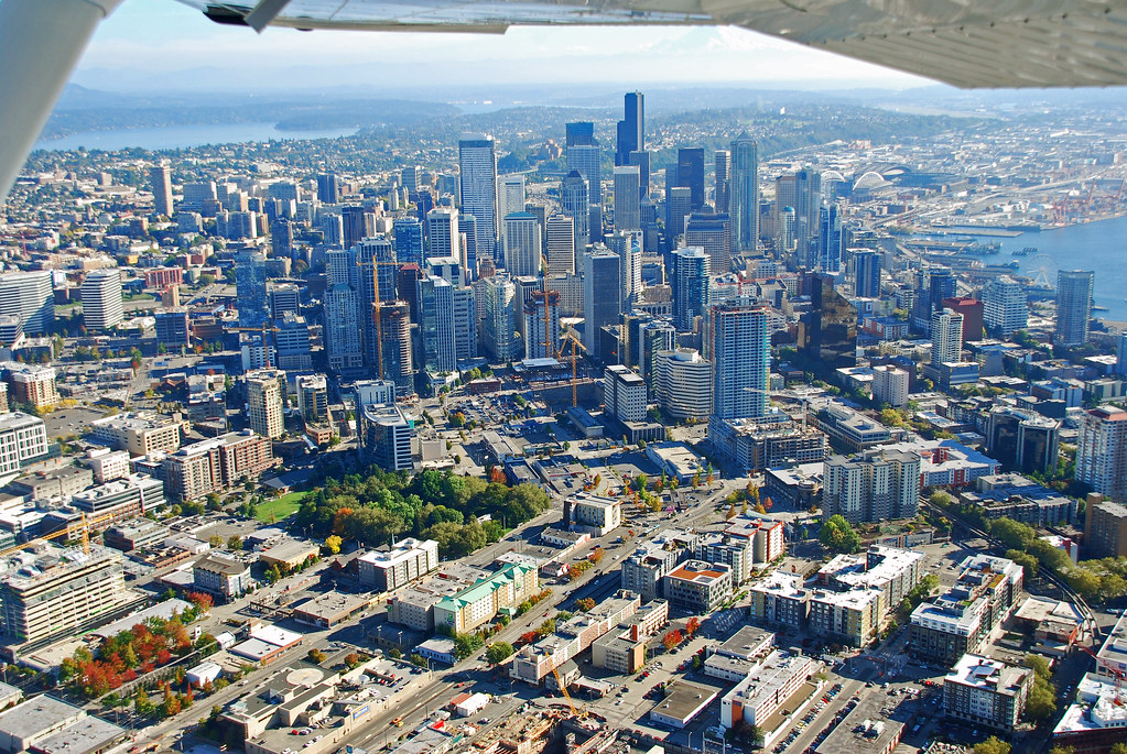 Freeland, Whidbey Island - you can see the Nichols Brothers shipyard buildings at the head of the bay in the lower left corner of the photo 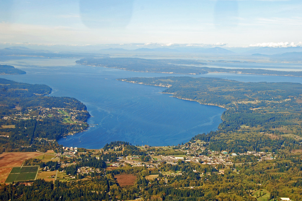 A closer view of Nichol's Brothers 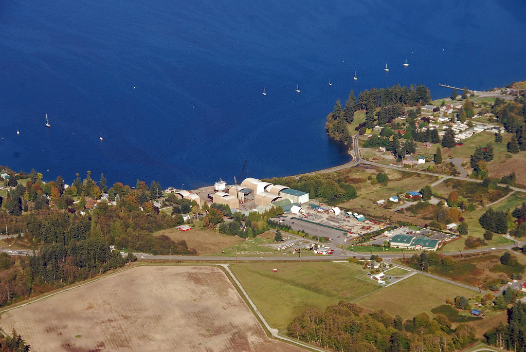 Whidbey Island at Keystone and Fort Casey. Looking up the island, you can see the San Juans in the distance 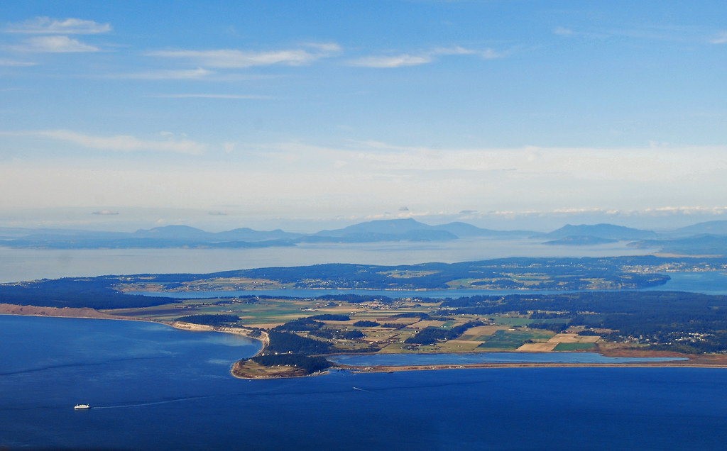 Naval Air Station Whidbey 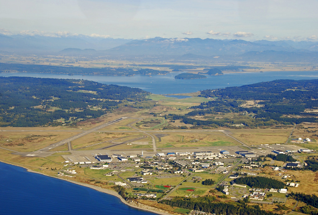 approaching the Skyline area of Anacortes. The ferry terminal is on the other side of the ridge from Skyline. 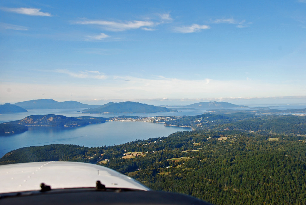 The north end of Blakely Island, its airfield, Peavine Pass, Obstruction Island, Obstruction Pass, and Orcas Island 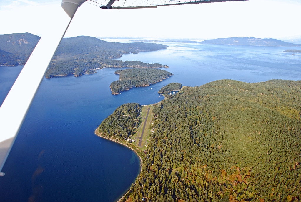 Orcas Island 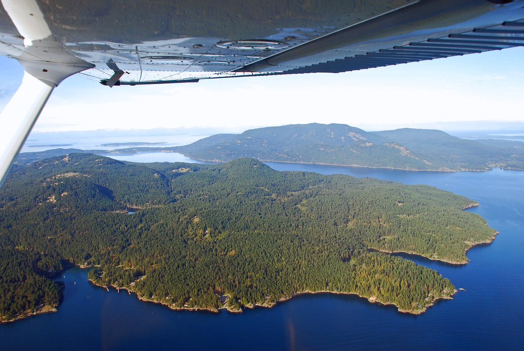 Port Townsend 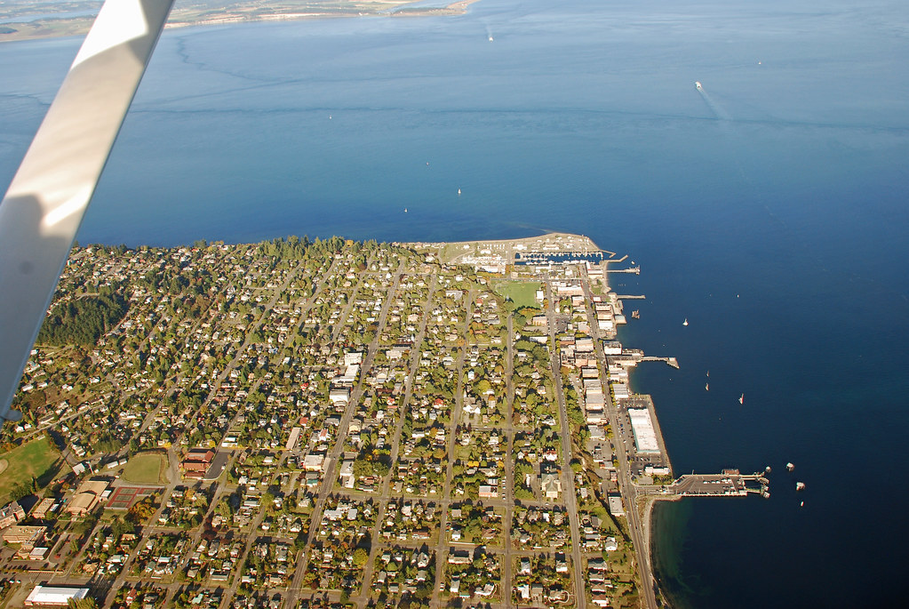 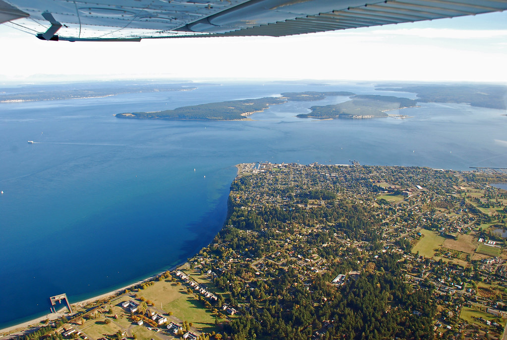 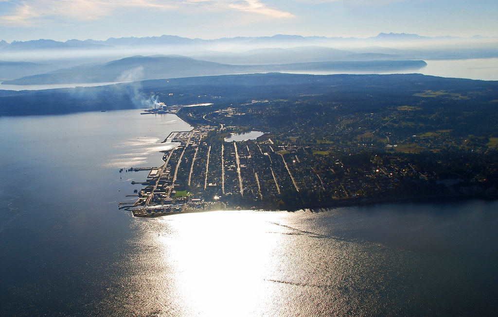 Fort Worden and Point Wilson 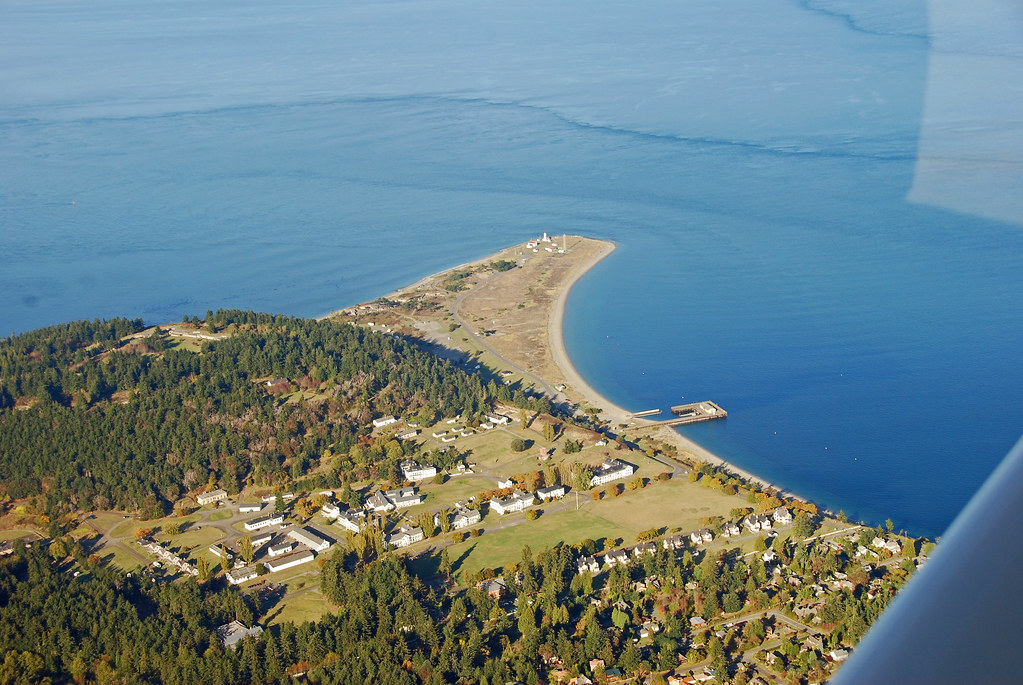 Marrowstone Light at Fort Flagler State Park 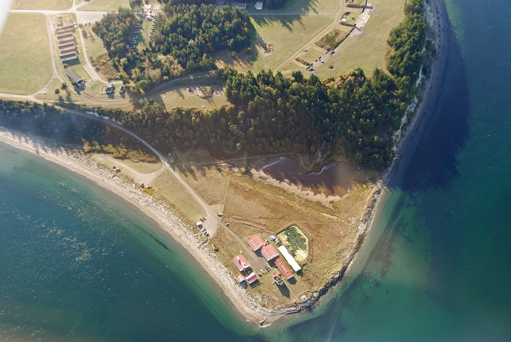 Port Madison on Bainbridge Island followed by Agate Pass, Kitsap Peninsula in the Poulsbo area, Liberty Bay, more of Kitsap Peninsula, Hood Canal, and finally, the Olympic Mountains 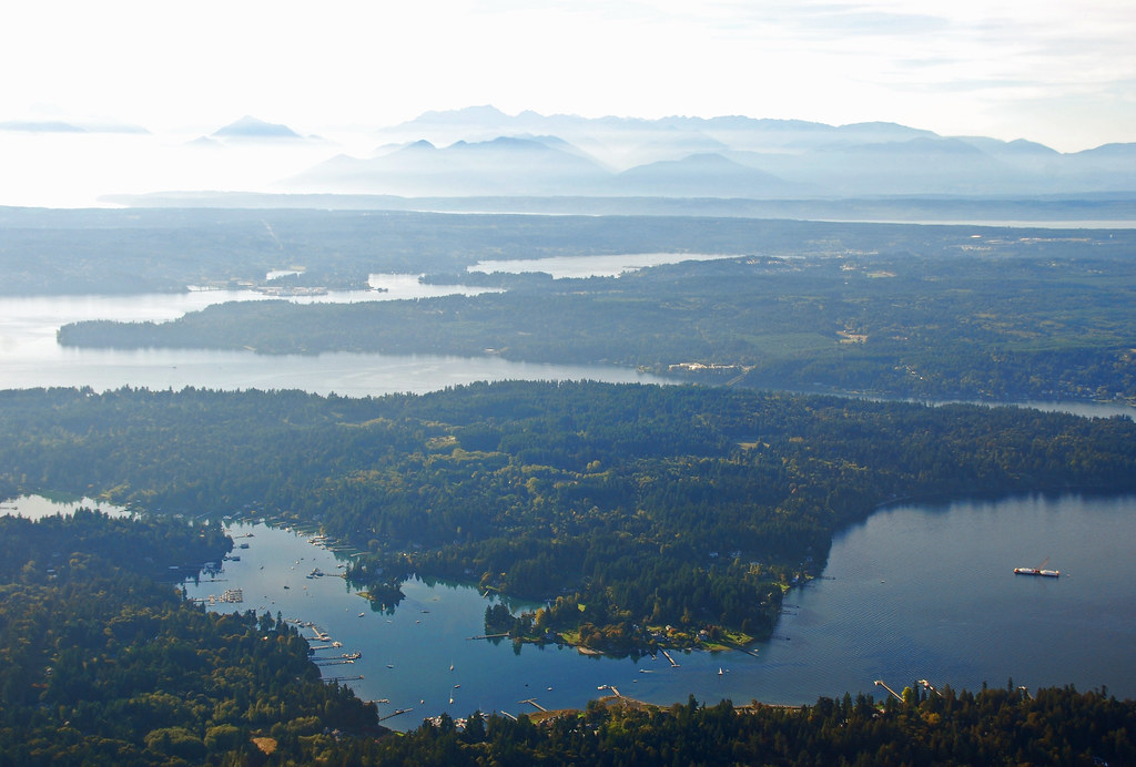 |
|
|
|
Post by paulvanb on Oct 8, 2014 16:24:10 GMT -8
Absolutely beautiful photos, Brandon!!!
|
|
|
|
Post by Kahloke on Aug 19, 2023 9:52:24 GMT -8
|
|