|
|
Post by Low Light Mike on Mar 31, 2013 7:06:20 GMT -8
100x sped-up video of my 3.5 hours of video from Horseshoe Bay, on March 30, 2013.
- watch the tide !
- a slower 40x version will be posted later today, to see more of the ferry movement easier.
|
|
|
|
Post by Low Light Mike on Mar 31, 2013 12:47:14 GMT -8
...and here is the slower 40x speed version of my visit at Horseshoe Bay.
|
|
|
|
Post by Curtis on May 7, 2013 19:05:59 GMT -8
|
|
|
|
Post by Curtis on May 8, 2013 11:08:13 GMT -8
|
|
|
|
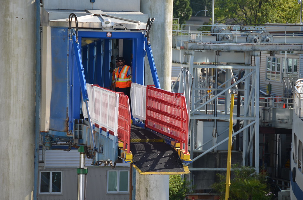
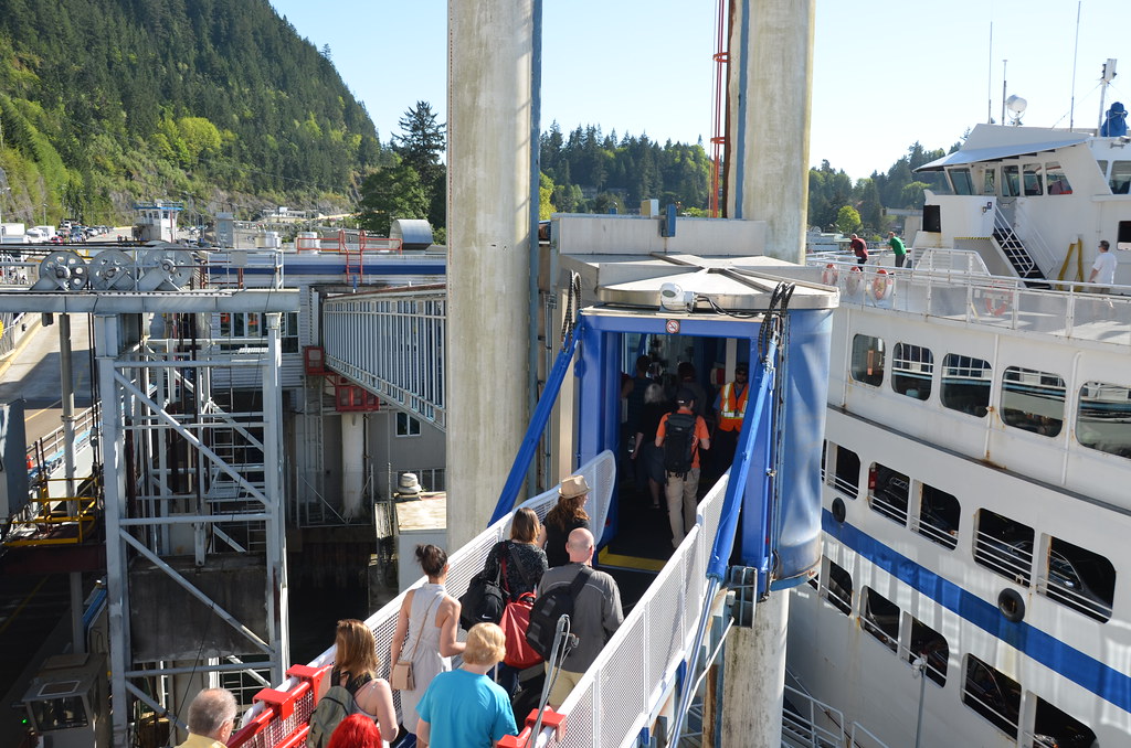
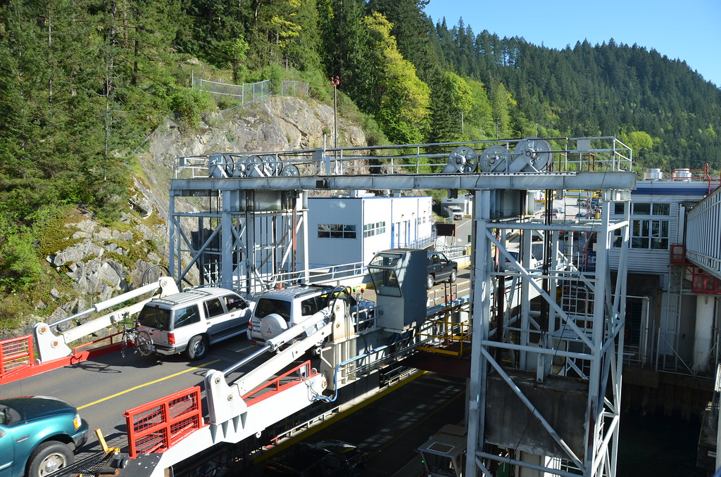
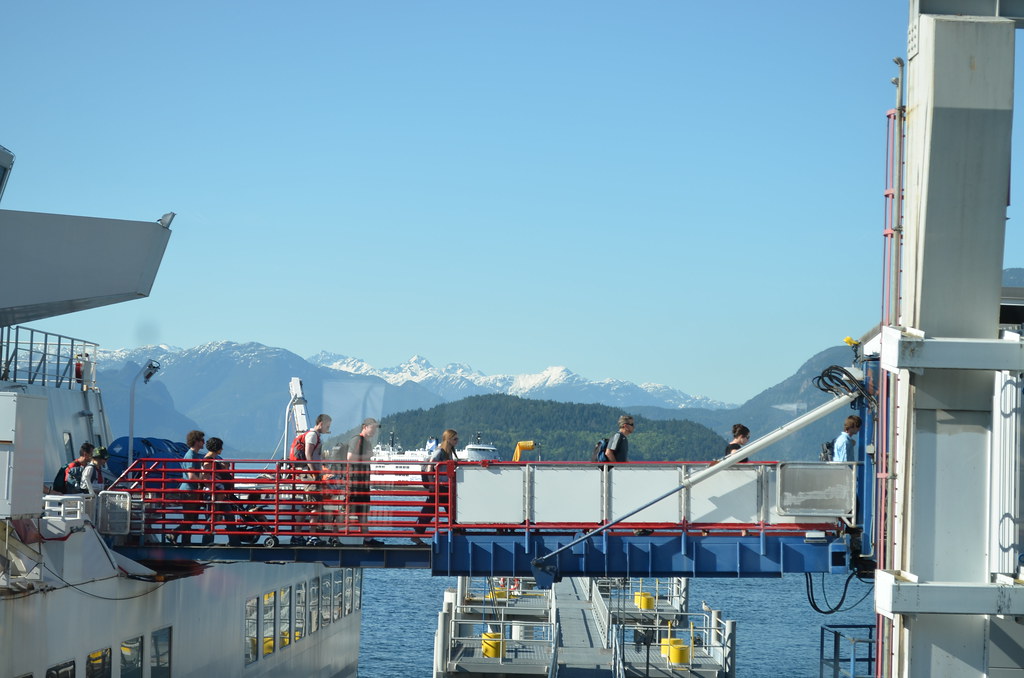
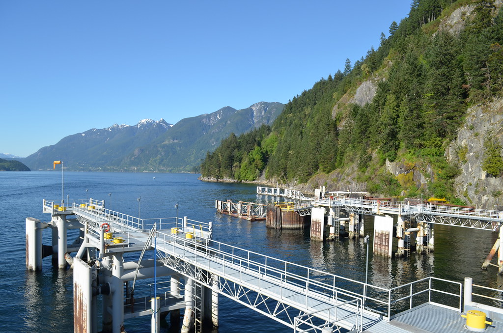
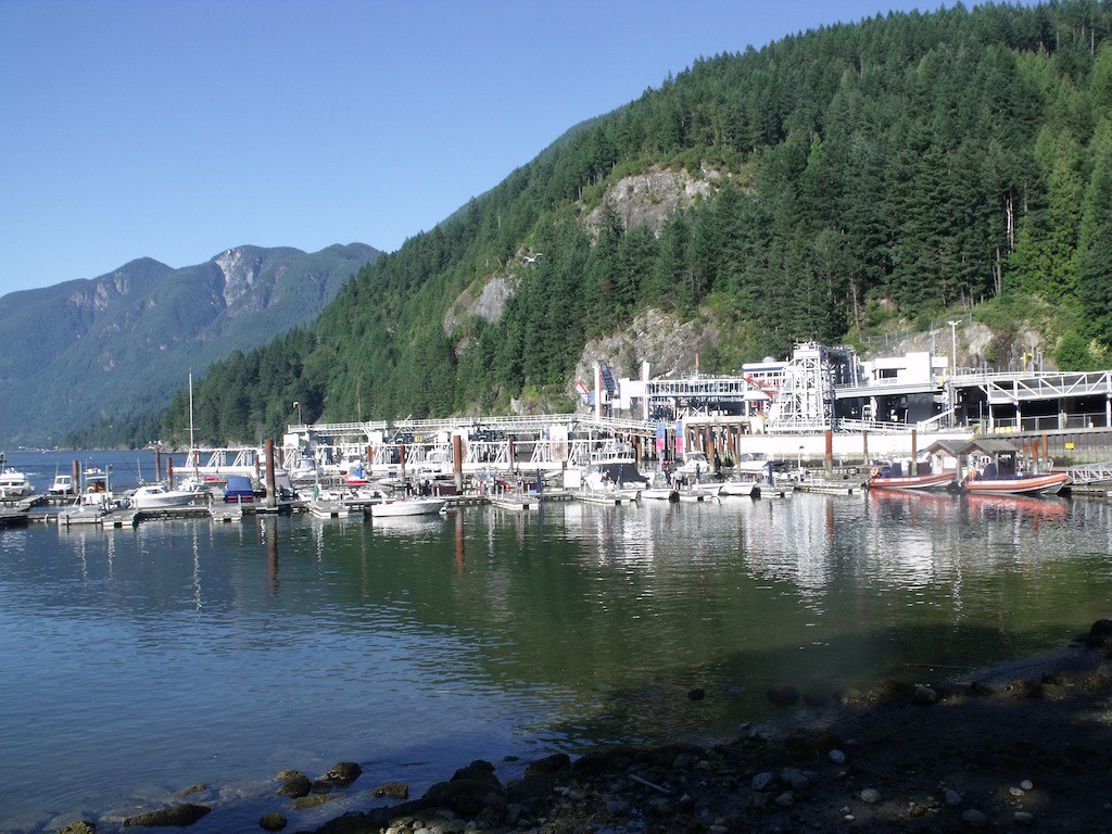
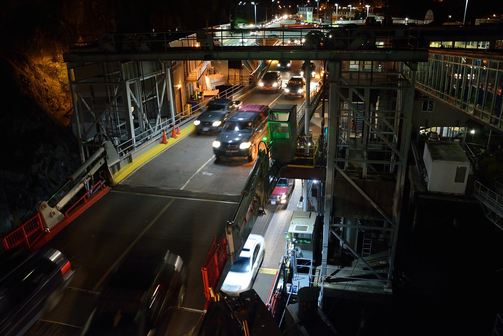
Post by Curtis on May 24, 2013 11:07:14 GMT -8
Photos of Horseshoe Bay from May 22 nd.
All Photos are © CS16 Photography and may only be used with Permission from the Owner.A look at the Exit/Loading Ramp Repairs being done. 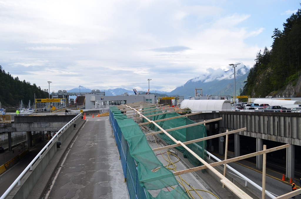 Horseshoe Bay Exit/Loading Ramp. Horseshoe Bay Exit/Loading Ramp. by CS16 Photography, on Flickr 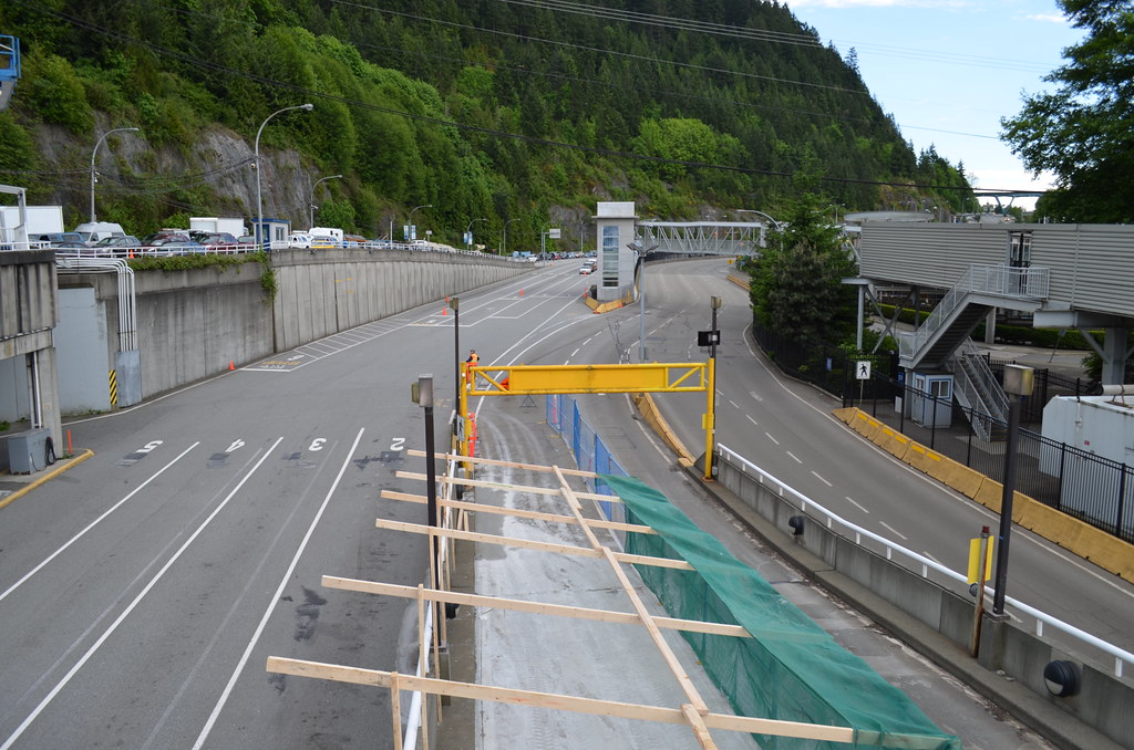 Horseshoe Bay Exit/ Loading Ramp. Horseshoe Bay Exit/ Loading Ramp. by CS16 Photography, on Flickr All 3 Berths. 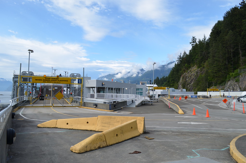 Berths 1-3, Horseshoe Bay. Berths 1-3, Horseshoe Bay. by CS16 Photography, on Flickr Berth 1. 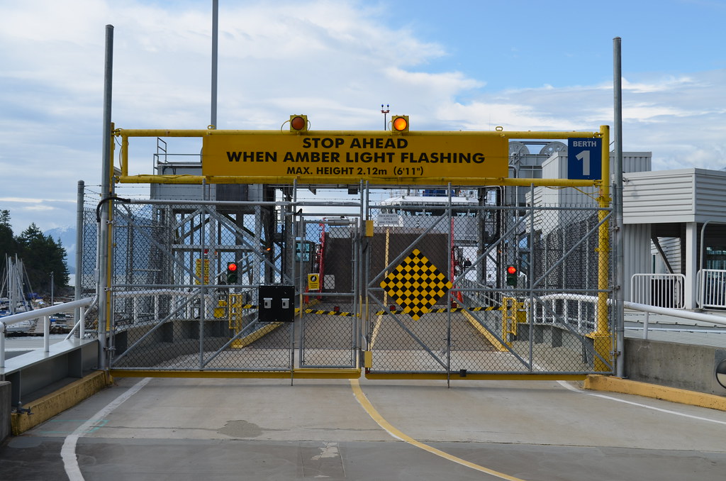 Berth 1 Upper Ramp, Horseshoe Bay. Berth 1 Upper Ramp, Horseshoe Bay. by CS16 Photography, on Flickr Berth 2. 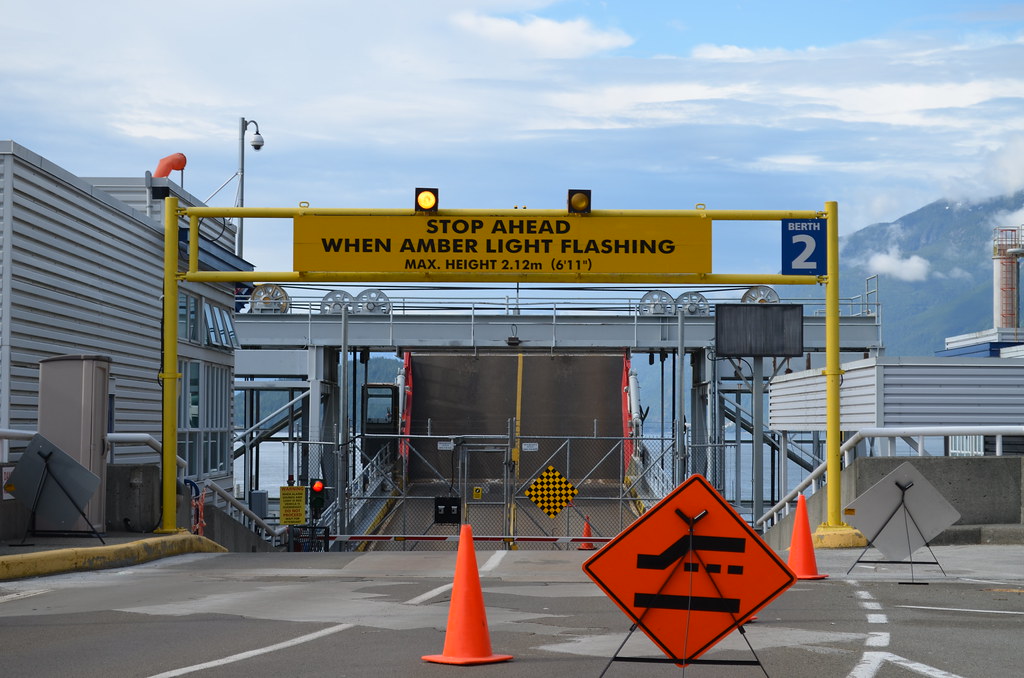 Berth 2 Upper Ramp, Horseshoe Bay. Berth 2 Upper Ramp, Horseshoe Bay. by CS16 Photography, on Flickr Berth 3. 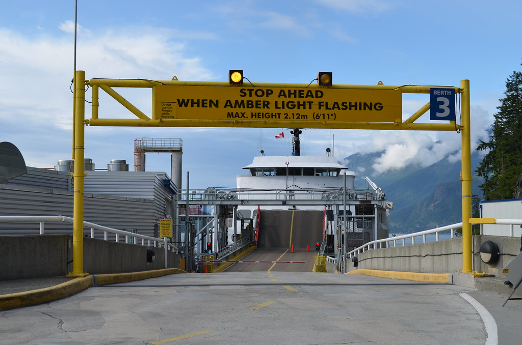 Berth 3 Upper Ramp, Horseshoe Bay Berth 3 Upper Ramp, Horseshoe Bay by CS16 Photography, on Flickr Langdale Traffic. 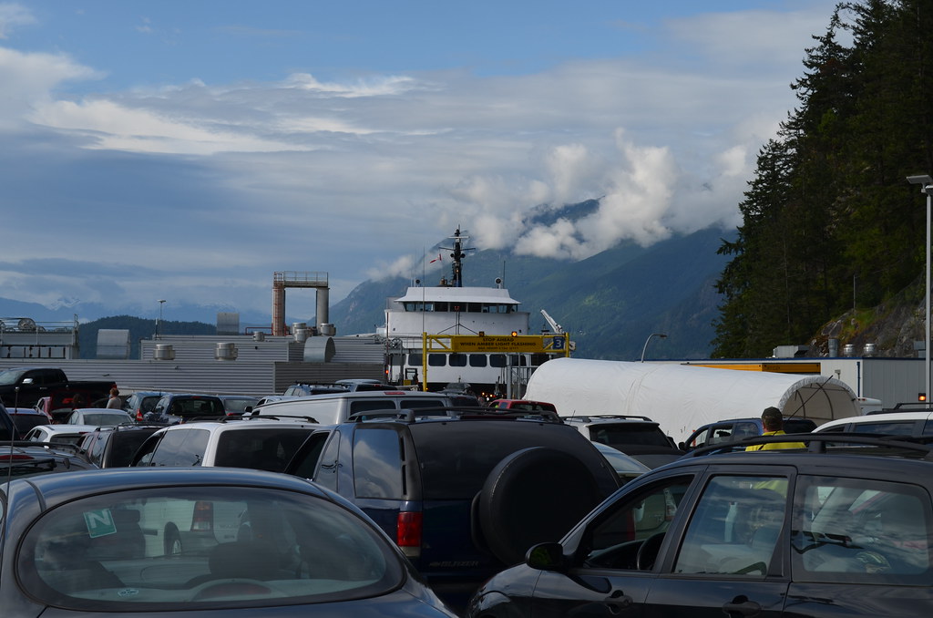 Queen of Surrey, Unloading at Berth 3, Horseshoe Bay. Queen of Surrey, Unloading at Berth 3, Horseshoe Bay. by CS16 Photography, on Flickr Departing Berth 3. 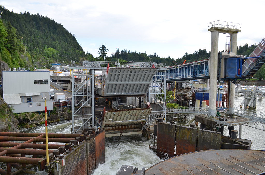 Departing Berth 3, Horseshoe Bay. Departing Berth 3, Horseshoe Bay. by CS16 Photography, on Flickr 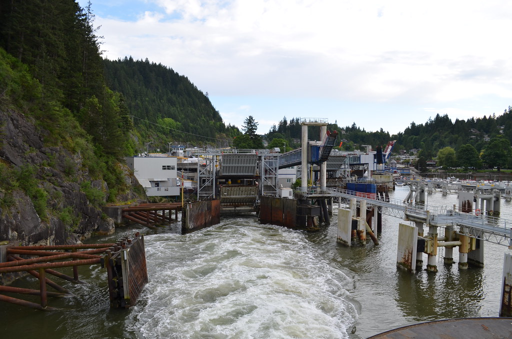 Departing Berth 3, Horseshoe Bay. Departing Berth 3, Horseshoe Bay. by CS16 Photography, on Flickr That's All for Now. |
|
|
|
Post by WettCoast on May 25, 2013 9:08:50 GMT -8
|
|
|
|
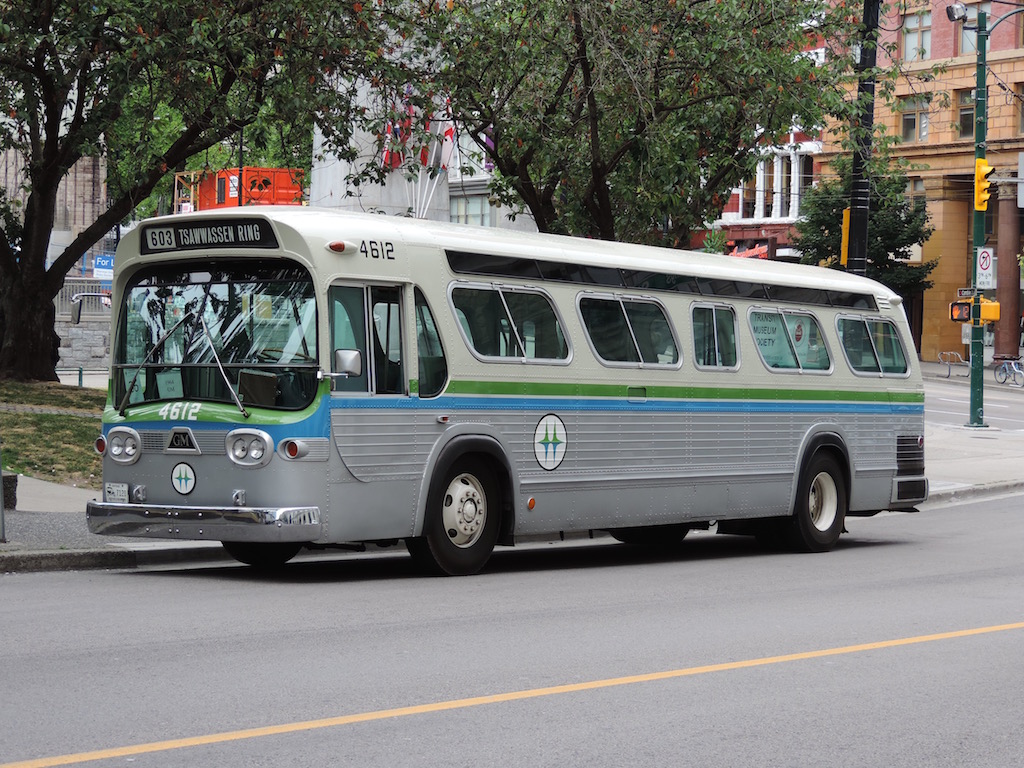
Post by Blue Bus Fan on Jul 4, 2013 12:22:50 GMT -8
|
|
|
|
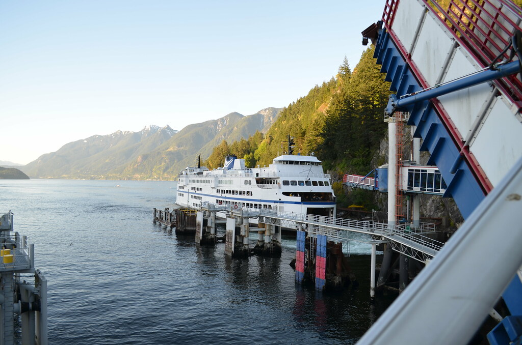
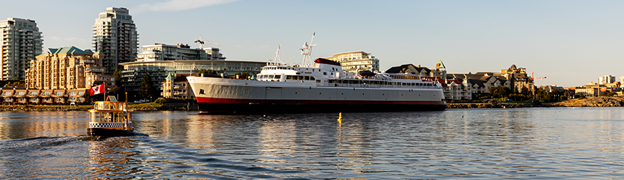
Post by paulvanb on Jul 6, 2013 11:19:57 GMT -8
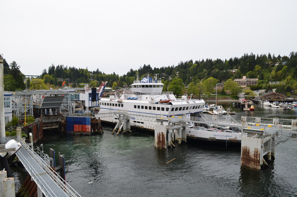
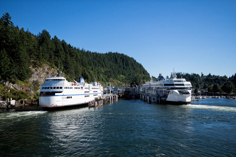 Sharing a dock with the big boys! Queen of Surrey to the left and the Coastal Renaissance to the right on July 3rd. |
|
|
|
Post by paulvanb on Jul 16, 2013 14:03:27 GMT -8
Not sure where to put this one so I posted it here. Did another video shoot on Bowen Island. Shots of Horseshoe Bay from Cates Hill, the ride over plus some footage from the lot.
|
|
|
|
Post by Mike on Oct 14, 2013 14:35:38 GMT -8
|
|
|
|
Post by markkarj on Jun 29, 2014 4:24:34 GMT -8
I was under the impression Horseshoe Bay had to undergo massive capital upgrading, including replacement of the upper vehicle platform. This was in a capital presentation some years ago. Is that still the case?
|
|
|
|
Post by markkarj on Jun 29, 2014 4:26:08 GMT -8
|
|
|
|
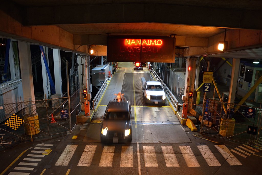
Post by Low Light Mike on Jul 10, 2014 20:20:29 GMT -8
For a while, it looked like Coastal Renaissance was going to use berth 1a, at Horseshoe Bay. - 6:20am sailing on July 7, 2014  ----------- (video to follow, soon) |
|
|
|
Post by Low Light Mike on Jul 11, 2014 5:23:16 GMT -8
An unusual approach to berth #1 at Horseshoe Bay
- experienced by me on Coastal Renaissance, on her 6:20am sailing on July 7, 2014. I was filming at the bow of the upper vehicle deck.
This video upload shows the docking approach at 3 speeds: 5x, 10x, and real time.
At no point did I notice any concern by the deckhands who were near me on the upper car-deck, and there were no special announcements. My conclusion is that we slowed down ok, but the path was off-center from our target berth.
It looks to me like we were off-center starting at the beginning of our approach, and we were not able to correct until we were stopped next to the berth.
|
|
|
|
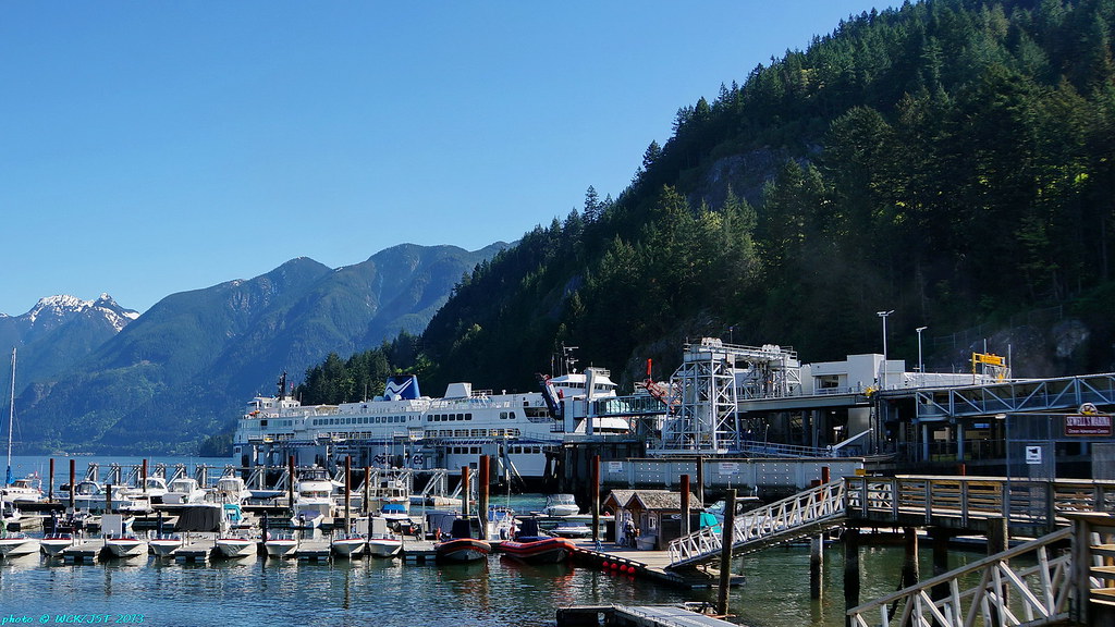
Post by Kahloke on Aug 13, 2014 5:02:45 GMT -8
Views of Horseshoe Bay Terminal on Wednesday, August 6, 2014, from the Marine Drive overpass: Queen of Coquitlam arriving from Langdale with Queens of Capilano and Cowichan in their respective berths 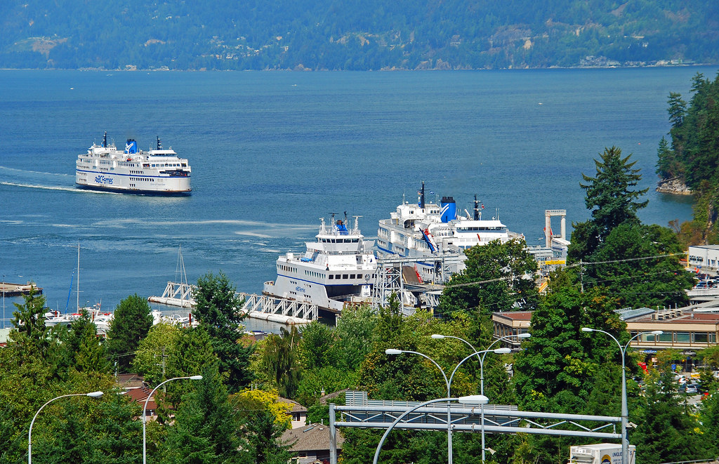 a very full lot on a Wednesday afternoon with all of the boats running late 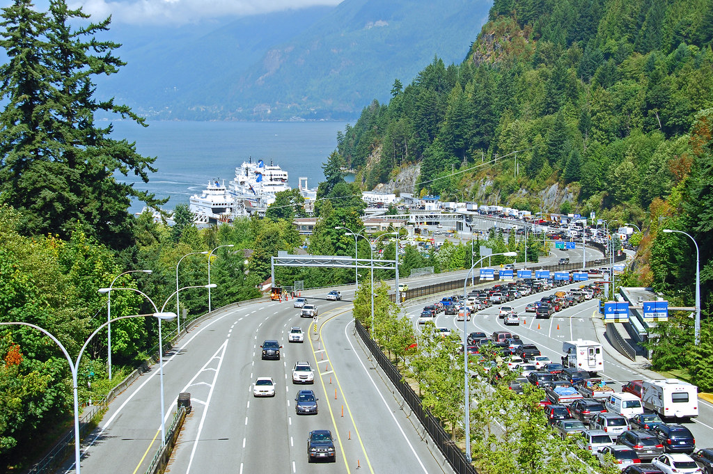 Queen of Oak Bay loading up for Nanaimo 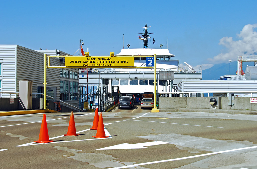 |
|
geewhiz01
Oiler (New Member)
 Not happy with my username, but can't think of a new one.
Posts: 13 
|
Post by geewhiz01 on Nov 6, 2014 17:01:40 GMT -8
Horseshoe Bay, taken in the early 1970s. There is no freeway yet.  |
|
geewhiz01
Oiler (New Member)
Not happy with my username, but can't think of a new one.
Posts: 13
|
Post by geewhiz01 on Nov 6, 2014 17:28:58 GMT -8
This was probably taken not long after the freeway opened.  |
|
Neil
Voyager 
Posts: 7,175
|
Post by Neil on Nov 6, 2014 18:10:48 GMT -8
Horseshoe Bay, taken in the early 1970s. There is no Upper Levels Highway yet. The Upper Levels was opened in the late 1950s. Where are the photos from? It's customary on this forum to identify one's sources. |
|
geewhiz01
Oiler (New Member)
Not happy with my username, but can't think of a new one.
Posts: 13
|
Post by geewhiz01 on Nov 6, 2014 18:15:01 GMT -8
It's from the government. My university library has a collection of these aerial photos in the maps section. I don't think it gets used too often. I scanned these from it.
|
|
|
|
Post by Low Light Mike on Nov 6, 2014 18:18:37 GMT -8
Hey Gee Whiz:
To save us some pointless back-and-forth, please explain what you are calling the "Upper Levels Highway".
I've got a hunch that you're calling the Olympics bypass highway "Upper Levels."
...but "Upper Levels Highway" is the road from Taylor Way area to Horseshoe Bay terminal, built (as Neil said) in the 1950s.
...and welcome here.
|
|
geewhiz01
Oiler (New Member)
Not happy with my username, but can't think of a new one.
Posts: 13
|
Post by geewhiz01 on Nov 6, 2014 18:22:59 GMT -8
Hey Gee Whiz: To save us some pointless back-and-forth, please explain what you are calling the "Upper Levels Highway". I've got a hunch that you're calling the Olympics bypass highway "Upper Levels." ...but "Upper Levels Highway" is the road from Taylor Way area to Horseshoe Bay terminal, built (as Neil said) in the 1950s. ...and welcome here. It was just a typo, which I've fixed... geez. |
|
|
|
Post by Low Light Mike on Nov 6, 2014 18:33:02 GMT -8
Hey Gee Whiz: To save us some pointless back-and-forth, please explain what you are calling the "Upper Levels Highway". I've got a hunch that you're calling the Olympics bypass highway "Upper Levels." ...but "Upper Levels Highway" is the road from Taylor Way area to Horseshoe Bay terminal, built (as Neil said) in the 1950s. ...and welcome here. It was just a typo, which I've fixed... geez. thanks for clarifying... geez. |
|
|
|
Post by compdude787 on Nov 6, 2014 20:36:39 GMT -8
Hey Gee Whiz: To save us some pointless back-and-forth, please explain what you are calling the "Upper Levels Highway". I've got a hunch that you're calling the Olympics bypass highway "Upper Levels." ...but "Upper Levels Highway" is the road from Taylor Way area to Horseshoe Bay terminal, built (as Neil said) in the 1950s. ...and welcome here. Then why do the overpasses on the Upper Levels Highway look like they were built in the 70s? I know a 70s-era overpass when I see one.  (yup, I'm a roadgeek) And yes, I am talking about the Hwy 1/99 portion that you drive on to get to the Horseshoe Bay terminal. You're definitely right, though, that the original Upper Levels Highway was built in the 50s, but not as a freeway like it is now. |
|
|
|
Post by WettCoast on Nov 6, 2014 21:14:12 GMT -8
Hey Gee Whiz: To save us some pointless back-and-forth, please explain what you are calling the "Upper Levels Highway". I've got a hunch that you're calling the Olympics bypass highway "Upper Levels." ...but "Upper Levels Highway" is the road from Taylor Way area to Horseshoe Bay terminal, built (as Neil said) in the 1950s. ...and welcome here. Then why do the overpasses on the Upper Levels Highway look like they were built in the 70s? I know a 70s-era overpass when I see one. (yup, I'm a roadgeek) And yes, I am talking about the Hwy 1/99 portion that you drive on to get to the Horseshoe Bay terminal. You're definitely right, though, that the original Upper Levels Highway was built in the 50s, but not as a freeway like it is now. Yes, the Upper Levels Highway became a freeway during the 1970's. In some places the road was on a new alignment, away from the original two-lane highway alignment built in the 1950's. The Upper Levels is the name for the highway from North Van through to Horseshoe Bay. I am not certain if Hwy 1 through the city/ district of North Van is considered to be part of the Upper Levels or if it is only the section of the highway in West Vancouver which is both Hwy 1 & Hwy 99. This route has nothing but 'interchanges' today, but it was not that long ago that the last traffic light intersections were eliminated (Lonsdale & Westview). |
|
|
|
Post by Mike C on Nov 6, 2014 21:40:12 GMT -8
Horseshoe Bay, taken in the early 1970s. There is no freeway yet. This almost looks to be a rare capture of the Howe Sound Queen in her original configuration... Thanks for scanning and posting these! |
|


 (yup, I'm a roadgeek) And yes, I am talking about the Hwy 1/99 portion that you drive on to get to the Horseshoe Bay terminal.

