|
|
Post by hullnumbers on Sept 6, 2016 20:37:55 GMT -8
Strange, I looked at the Ship tracking both siitech and BC Ferries tracker and the Coastal Renaissance is docked at Tsawwassen. Says she is a Departure Bay- Horseshoe Bay route ferry but she's in the wrong place? She arrived at Tsawwassen at 9:25pm. Does anyone know whats going on here?
|
|
Koastal Karl
Voyager   Been on every BC Ferry now!!!!!
Posts: 7,747
|
Post by Koastal Karl on Sept 6, 2016 20:54:23 GMT -8
She is replacing the SOBC starting tomorrow. Not sure how long she is on the route for but I am sure route 1 travelers will not be looking forward to having that ship on route 1 again. I know I wont be.
|
|
|
|
Post by hullnumbers on Sept 6, 2016 21:18:38 GMT -8
That's not good, what's wrong with the SOBC? looking at todays departures, she never failed for Operational delay's. Passengers truly love the Spirits, I know I love this class more then the Coastal's.
|
|
|
|
Post by Dane on Sept 6, 2016 21:21:43 GMT -8
Regular maintenance and some testing for the MLU. BC Ferries issued a News Release on it today  |
|
|
|
Post by hullnumbers on Sept 6, 2016 21:26:38 GMT -8
Darn, that's going to put a monkey wrench in my round trip from riding CC from Swartz Bay- Tsawwassen then transferring to the SOBC to head back on Thursday. Back to the drawing board for the plan.
|
|
|
|
Post by WettCoast on Sept 10, 2016 7:28:30 GMT -8
|
|
|
|
Post by WettCoast on Sept 14, 2016 20:26:35 GMT -8
Coastal Renaissance, currently running in place of the Spirit of BC, seen here in Georgia Strait en route to Swartz Bay with the 3 PM sailing from Tsawwassen - Friday, 9 September 2016. View is through a 450 mm equivalent tele-zoom lens from the deck of the Q. of Nanaimo. WCK, now returned home after a month in tropical parts ...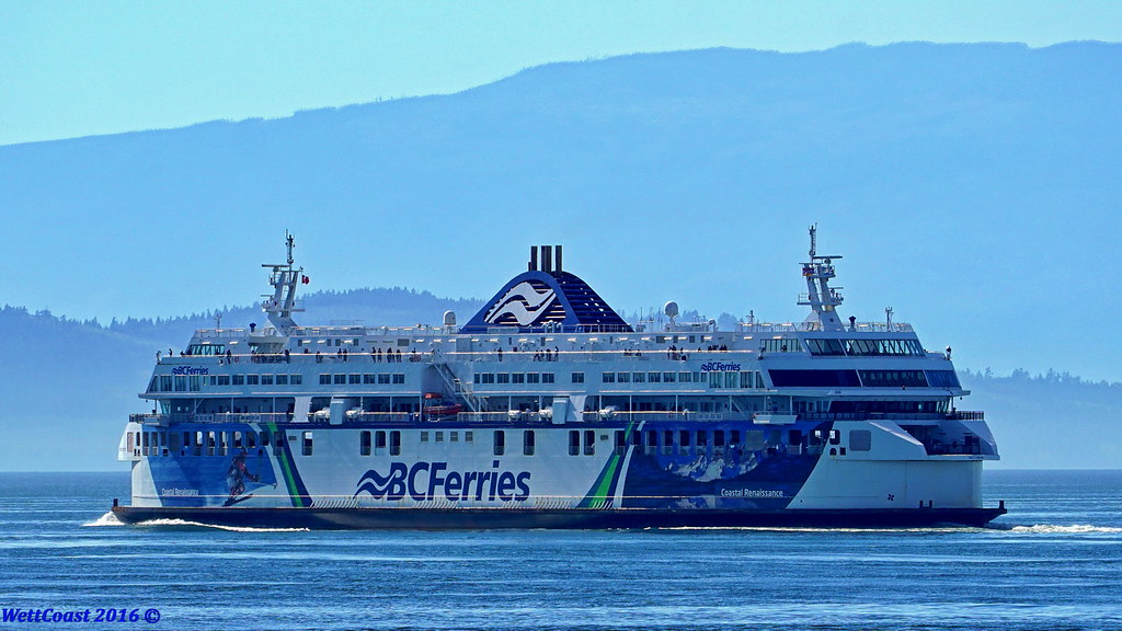 © WCK-JST by Jim Thorne, on Flickr © WCK-JST by Jim Thorne, on Flickr
|
|
|
|
Post by bigcountry on Sept 26, 2016 16:38:02 GMT -8
Anyone know why the Rennie is in for the Inspiration today?
|
|
|
|
Post by Ferryman on Oct 13, 2016 14:47:45 GMT -8
I'm presently aboard the Coastal Renaissance en route to Horseshoe Bay. We were just informed we'll be taking the alternate route to Horseshoe Bay, via the north side of Bowen Island. In the 28 years I've traveled route 2, I don't think I've ever gone this way. I suspect this is due to the wind that is beginning to pick up on the strait, but not enough to make the ride any different than normal so far.
|
|
|
|
Post by Dane on Oct 13, 2016 16:42:57 GMT -8
I've done that once, due to wind, and it was a nice change of pace. I'd be interested if you noted the sailing time?
|
|
|
|
Post by roeco on Oct 13, 2016 17:34:15 GMT -8
I'm presently aboard the Coastal Renaissance en route to Horseshoe Bay. We were just informed we'll be taking the alternate route to Horseshoe Bay, via the north side of Bowen Island. In the 28 years I've traveled route 2, I don't think I've ever gone this way. I suspect this is due to the wind that is beginning to pick up on the strait, but not enough to make the ride any different than normal so far. I suspect this wont be the first detour due to wind conditions...Im sure we'll see a couple more and who knows what tomorrow will bring
|
|
|
|
Post by northwesterner on Oct 13, 2016 18:18:40 GMT -8
I'm presently aboard the Coastal Renaissance en route to Horseshoe Bay. We were just informed we'll be taking the alternate route to Horseshoe Bay, via the north side of Bowen Island. In the 28 years I've traveled route 2, I don't think I've ever gone this way. I suspect this is due to the wind that is beginning to pick up on the strait, but not enough to make the ride any different than normal so far. Just looking at a map quickly, what is the advantage for wind protection to taking this route? Are they just trying to get a wider swing with more space to maneuver to line up for Horseshoe Bay? |
|
|
|
Post by Ferryman on Oct 13, 2016 19:22:14 GMT -8
I'm presently aboard the Coastal Renaissance en route to Horseshoe Bay. We were just informed we'll be taking the alternate route to Horseshoe Bay, via the north side of Bowen Island. In the 28 years I've traveled route 2, I don't think I've ever gone this way. I suspect this is due to the wind that is beginning to pick up on the strait, but not enough to make the ride any different than normal so far. Just looking at a map quickly, what is the advantage for wind protection to taking this route? Are they just trying to get a wider swing with more space to maneuver to line up for Horseshoe Bay? Good question, since the majority of Route 2 is exposed no matter which way you go. This alternative route would serve for some resistance from SW winds, and maybe a bit of the SE winds. But by that point of the voyage, Point Grey/Vancouver ends up being a natural lee for the SE winds. Looking back, I think this was more of a training/refresher opportunity for the bridge crew. Traffic was light in both directions, and the CR now ties up for what would have been the last round trip of the night by 19:00. Crossing time was about 1hr and 41mins, running at approx 20 knots for most of the crossing, which is pretty close to being at par with the regular run. For some people who were well familiar with the route, were pleasantly surprised to see the alternative route, and lots of people were venturing up to the sundeck for photos. Here's a bit of a photo summary of this rarely traveled leg of route 2 to provide the proof and to show off the different surroundings. Here's Pasley Island and the west side of Bowen Island with Vancouver off in the distance 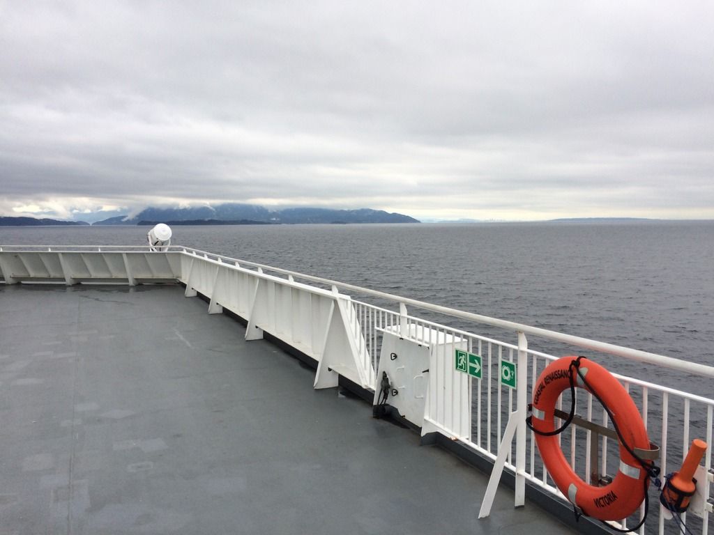 Reference point 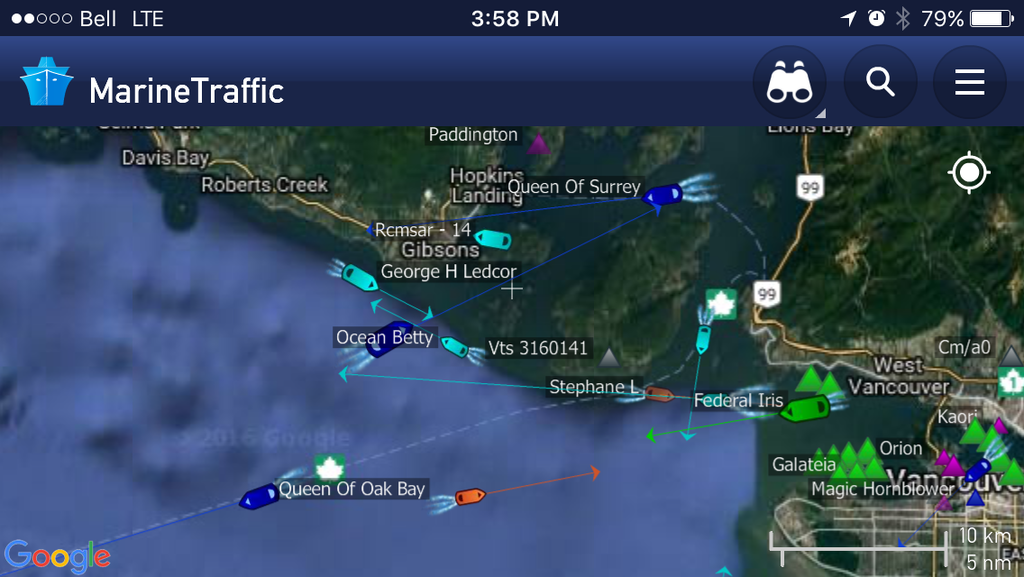 Gibsons with Langdale terminal way off in the distance down the channel 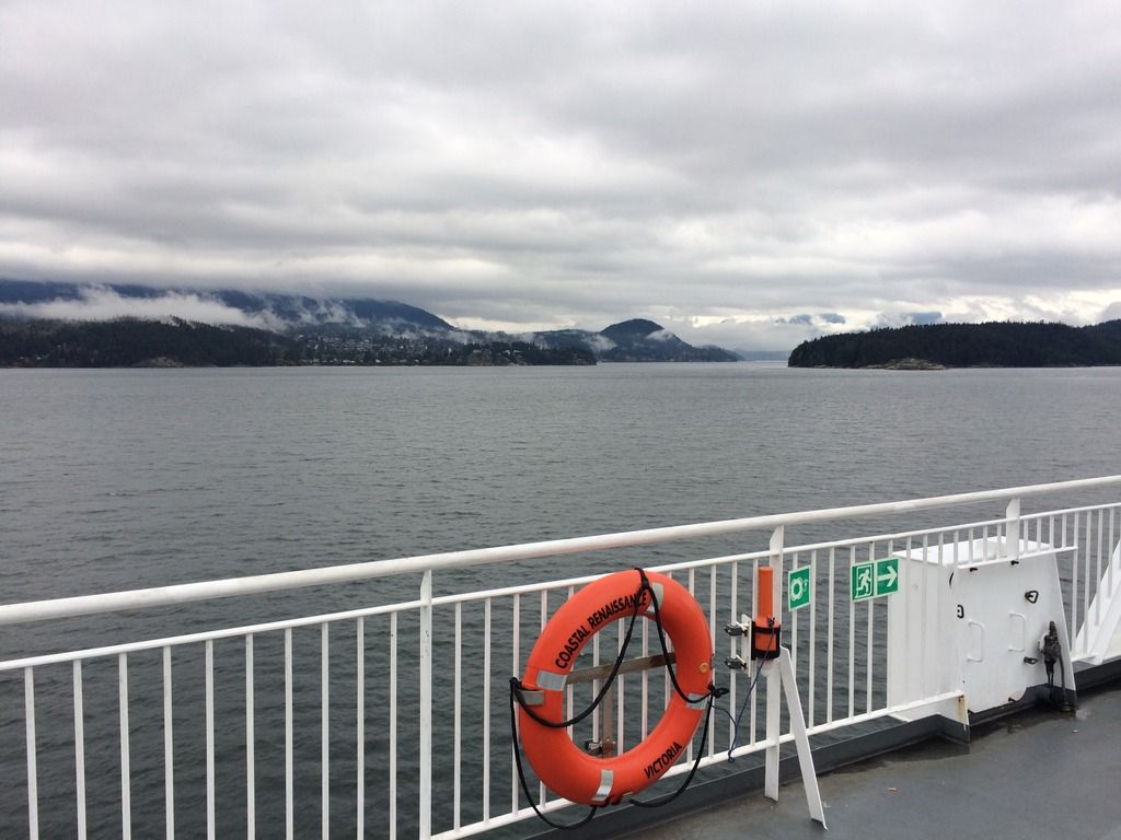 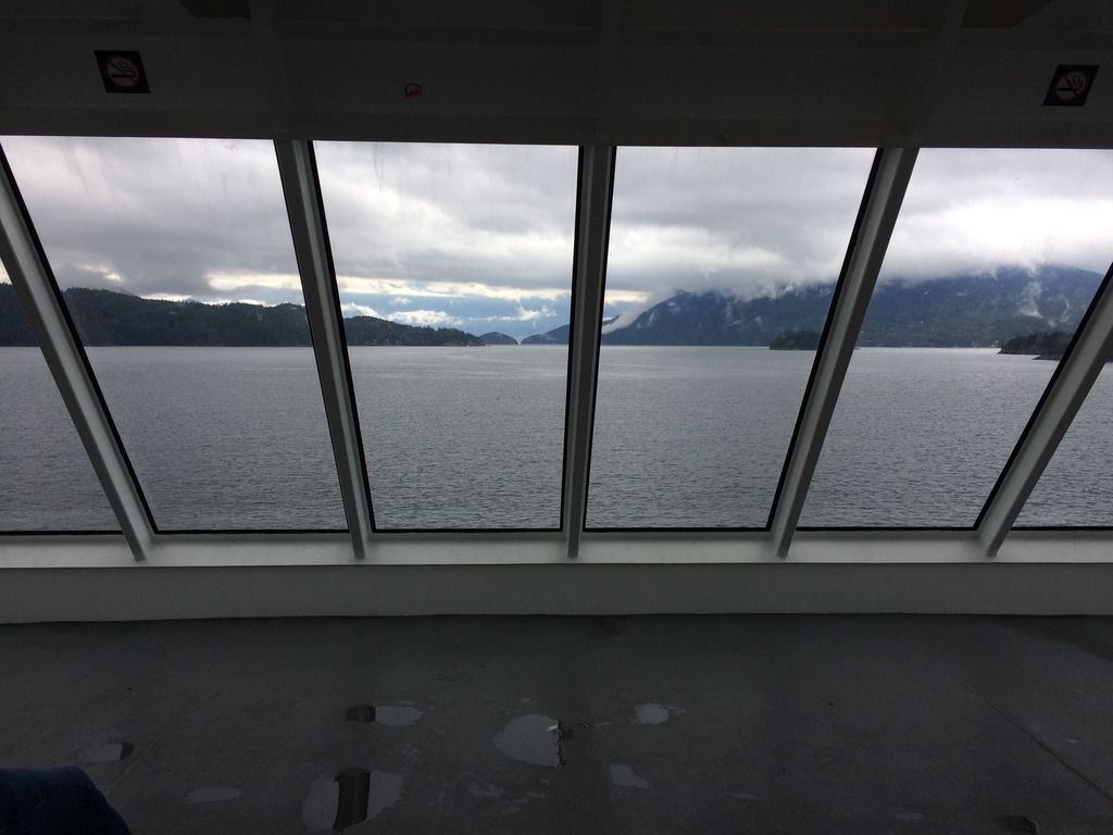 Keats Island on the left, with Gambier Island in the center. This is where we would join up with following the Route 3 passage 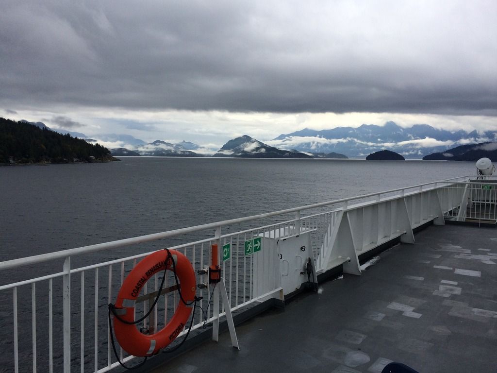 Langdale with the Queen of Surrey. Funny enough, those who were unfamiliar with the area and saw this out the window, immediately thought it was time to return to their vehicle or to line up for the overhead walkway. 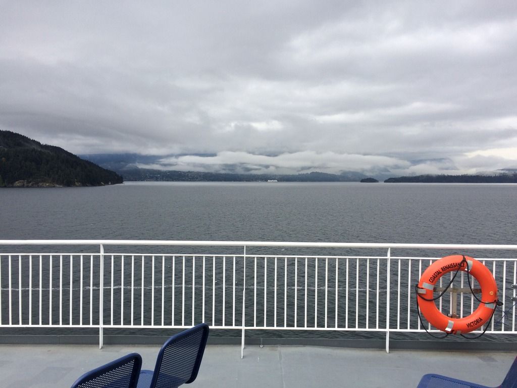 .....and finally, the approach into Horseshoe Bay 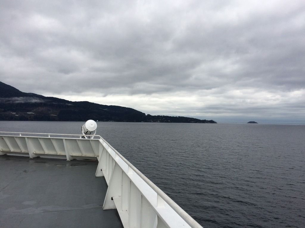 |
|
Deleted
Deleted Member
Posts: 0
|
Post by Deleted on Oct 13, 2016 19:54:43 GMT -8
I was aboard the 16:30 (17:00) Queen of Surrey out of Langdale yesterday and we passed the Rennie off the North end of Bowen Island. I assumed that they were headed for Barfleur Passage. I just happened to talk to the Chief Officer and he said that the distance is about the same and sometimes they use the other route for training, weather or traffic.
|
|
|
|
Post by Scott on Nov 2, 2016 23:40:52 GMT -8
|
|
|
|
Post by mybidness459 on Nov 12, 2016 15:48:40 GMT -8

In the "Why on earth this is needed Category"
The Coastal Renaissance is listed on the CPA website needing a pilot on Nov 13 as it leaves Vancouver Drydock for Nanaimo anchorage. (Probably bound for Departure Bay. She leaves Drydock at 10 am. See for yourself:
pilot.kleinsystems.com/public/ppa/ppa_currenttraffic.aspx
Page 2 about 3/4 down the page. |
|
|
|
Post by mybidness459 on Dec 12, 2016 16:32:43 GMT -8
Renaissance was out on Sea Trials today. I spotted her off of Dover Bay in Nanaimo around 2:55pm this afternoon from the #40 bus.
|
|
|
|
Post by Low Light Mike on Dec 15, 2016 21:17:42 GMT -8
Coastal Renaissance was doing sea trials or training today in Nanaimo harbour at the Port's assembly wharf. Here's my workplace view on December 15, 2016. I was walking around the perimeter of our office, and I saw the ship coming into the harbour, straight-on. I thought, "that kinda looks like a Coastal." So I ran back to my desk to grab my compact camera, and went to the office deck to shoot. 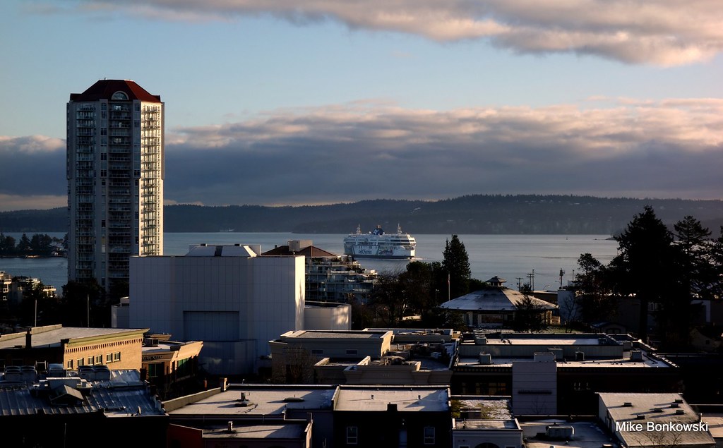 DSC06678 DSC06678 by Mike Bonkowski, on Flickr 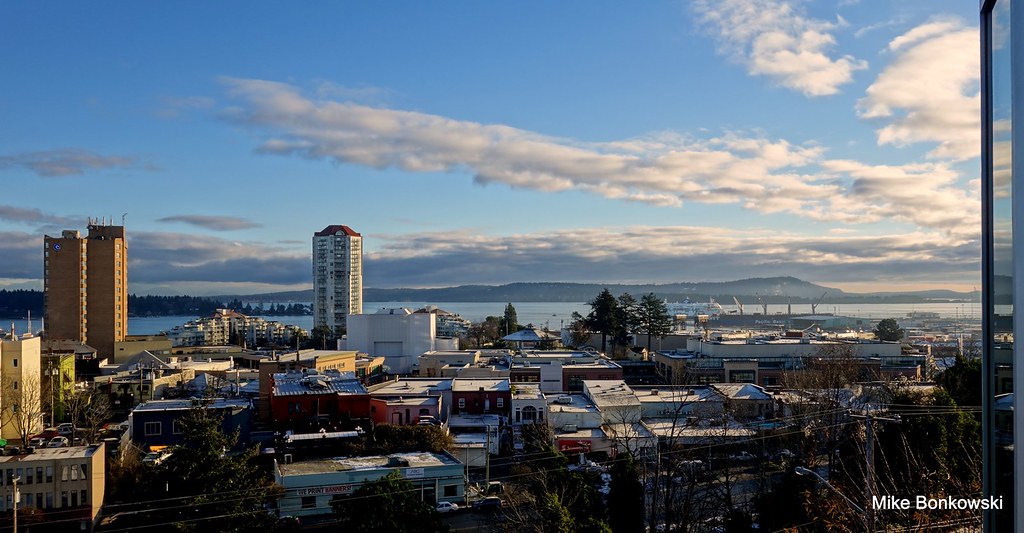 DSC06689 DSC06689 by Mike Bonkowski, on Flickr 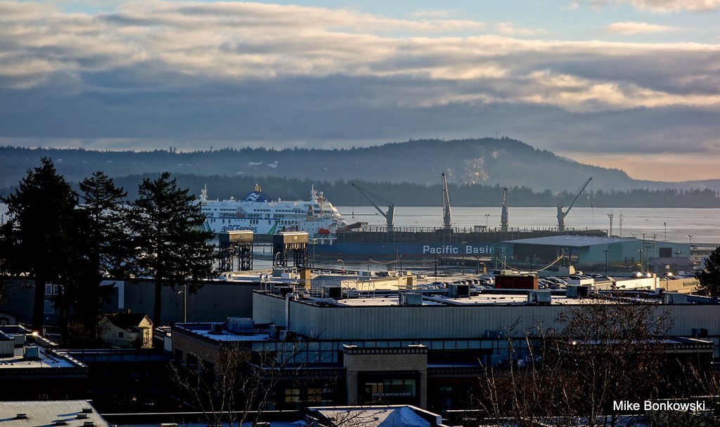 DSC06691 DSC06691 by Mike Bonkowski, on Flickr |
|
|
|
Post by WettCoast on Mar 5, 2017 8:48:21 GMT -8
Coastal Renaissance transiting Active Pass with the 5 PM route 1 sailing from Swartz Bay - 1 March 2017. She is seen here off the Mayne Island shoreline. 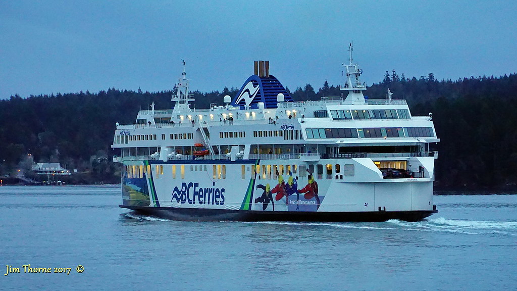 © WCK-JST by Jim Thorne, on Flickr © WCK-JST by Jim Thorne, on Flickr
|
|
|
|
Post by mybidness459 on Mar 15, 2017 11:49:15 GMT -8
Renaissance Currently in Berth 1 at Departure Bay according to BC Ferries Terminal Cam.
|
|
|
|
Post by Scott on Apr 18, 2017 22:16:40 GMT -8
|
|
|
|
Post by Scott on Jun 22, 2017 20:15:05 GMT -8
A classic sight aboard a 2015 sailing on Route 30 at this time of year...
June 20, 2017The following image posted by this account is copyright © S.A. ~ Unauthorized use is prohibited.
 BC Ferries - Sun Deck, Coastal Renaissance. BC Ferries - Sun Deck, Coastal Renaissance. by Scott, on Flickr |
|
|
|
Post by mybidness459 on Jun 23, 2017 14:17:15 GMT -8
That is a one AWESOME picture Scott!☺
|
|
|
|
Post by Low Light Mike on Sept 15, 2017 20:38:17 GMT -8
Mrs. Horn spotted Coastal Renaissance near Otter Bay, on September 12, 2017 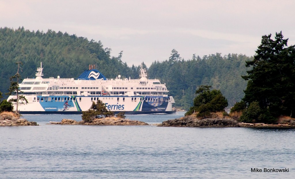 DSCF2671 DSCF2671 by Mike Bonkowski, on Flickr |
|
|
|
Post by Blisswood on Oct 25, 2017 10:25:14 GMT -8
|
|