|
|
Post by Northern Exploration on Jul 31, 2008 17:08:32 GMT -8
Yes a sturdy dock for temporary use, is all that is needed. Bare bones in case of emergency, no frills. If something were to ever happen in Horseshoe Bay (a rock slide blocking the berths) this temp facility could at least do minimal duties. So it isn't just for the Sea to Sky.
|
|
|
|
Post by Dane on Jul 31, 2008 20:55:27 GMT -8
the Ministry of Transportation and Highways should have made sure that the Darrell Bay ramp was maintained to a standard similar to that of Porteau Cove. Highways maintains both so I don't know why the difference in maintenance. I suppose the shier amount of use that Porteau Cove's dock gets makes it a higher priority. Technically the whole apperatus and dock/pier is under control of Highways rather than BC Parks. |
|
|
|
Post by Ferryman on Jul 31, 2008 22:05:20 GMT -8
I took a few pictures of our Marine infrastructure a few months ago. I can asure you all nothing has changed. I'll start off with the dock at Darrel Bay, which was the Ferry dock that BC Ferries considered running a Ferry to. But it was deemed unsafe to use. As you can see, the dock is outdated, yet seems to remain entact. It was actually given a new wooden deck, new railings, and a new ramp back in 2005/6. I can even remember seeing the Nimpkish fill in for the Garibaldi II back in 2004, while she was out for annual refit. 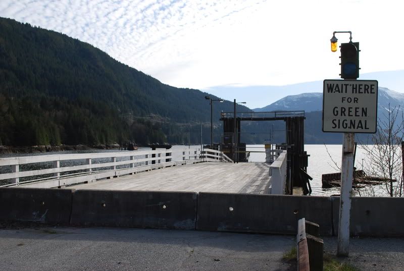 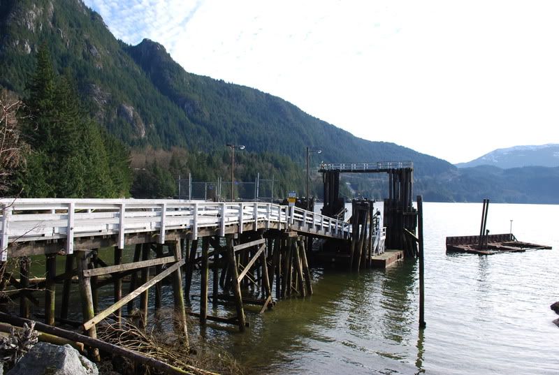 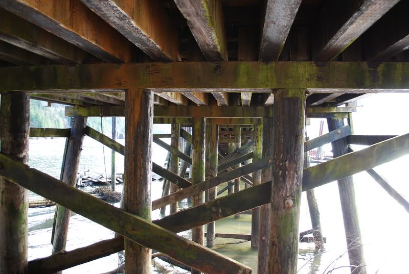  Here's our deep sea port, which can handle some fairly large Freighters. It has rail and road access. 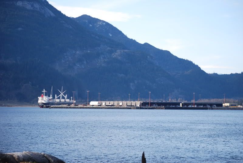 Now here's the old train barge ramp. There used to be an old Chlorine plant at this site, and it was all removed back in 1997. The dock has seen better days. One of the last times it was used, was when the Queen of the Islands came up to spend a Winter here. The ramp was always left in the raised position before, but there was a gangway leading down on to the ferry. She even broke lose from this dock, because she wanted to go for a trip down Howe Sound with the Northern outflow winds we had at the time. They managed to tow her back from Watts point, which is just noticeable in the background on the left. 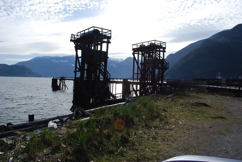 |
|
Mill Bay
Voyager  Long Suffering Bosun
Posts: 2,886 
|
Post by Mill Bay on Aug 13, 2008 13:24:15 GMT -8
I've been looking at some historical photos of Horseshoe Bay recently, and found some pretty shocking evidence... For the people who protested the Eagle Bluffs overland route, they are about 50 years to late. They might want to go find the people who built the original Sea-to-Sky as well as the PGE railway route along Howe Sound. Historical photos of Horseshoe Bay reveal that the construction basically laid bare the rock bluffs near Horseshoe Bay... all the vegetation just disappeared in some spots.
Perhaps the highway expansion is not the environmental dooms-day they would have us believe. It also does not seem very reflective of a supposedly environmentally conscious provincial government to ignore the purportedly more environmentally friendly option of building a tunnel. If you want to save the environment, you should choose the greener option when building a highway, even if the price-tag is a little higher, because, can you really put a price on the future health of environment and the inestimable value that all those at-risk species will have in the future if you had saved their habitat by building a tunnel?
|
|