|
|
Post by WettCoast on Dec 12, 2010 8:43:17 GMT -8
That type of clearance sign may be common in Europe, but it is not in North America. Few people would know what it means.
BC Ferry vessels need to be marked with standard North American signage - or - we on this side of the Atlantic all need to be re-educated re standard international signage.
|
|
|
|
Post by lmtengs on Dec 12, 2010 13:45:17 GMT -8
That type of clearance sign may be common in Europe, but it is not in North America. Few people would know what it means. BC Ferry vessels need to be marked with standard North American signage - or - we on this side of the Atlantic all need to be re-educated re standard international signage. I don't understand how it would be hard to understand. It's a sign with arrows and and a number. Any numskull would be able to see that it probably has to do with clearance. It's not really that much different from our normal North American clearance signs ( example of N.A clearance sign). I think spending extra to replace signs that really don't need replacing is a little bit superfluous. Just my opinion on the matter. |
|
|
|
Post by Dane on Dec 29, 2010 0:23:55 GMT -8
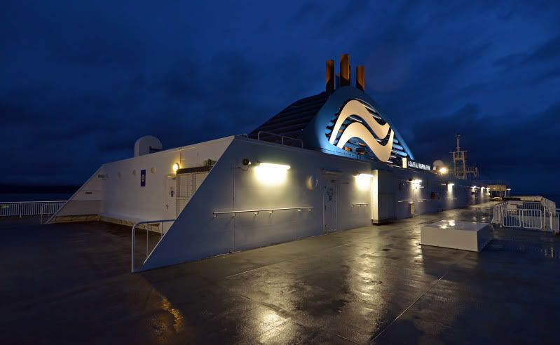
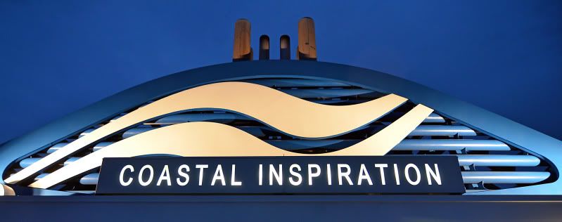
28 Dec 10 I have a Coastal funnel fetish. 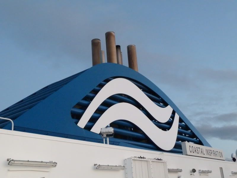 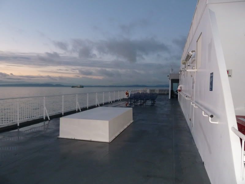 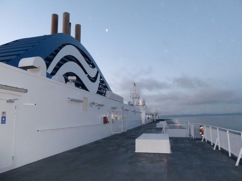 |
|
|
|
Post by Low Light Mike on Jan 1, 2011 16:58:06 GMT -8
|
|
|
|
Post by Low Light Mike on Jan 1, 2011 23:20:09 GMT -8
Another set of photos of the C'Inspy on Dec.31, 2010. - taken from Malaspina Galleries park on Gabriola Island. This is a natural half-pipe sandstone formation along the beach on a nice point of land. Here's the location from an older photo, as seen from Duke Point (Mal Galleries is the nice point with the trees) 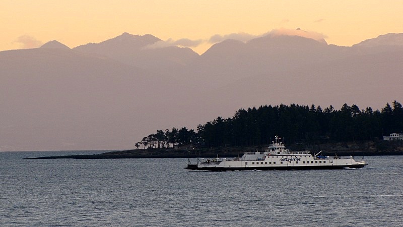 ============== The C'Inspy approaches after rounding Entrance Island.    Now, I'm crouching in the half-pipe, and the C'Inspy sails past me. ...just like I planned it.     It's a great location, easy to get to by car or bike (maybe 4km from the ferry landing). Also, you can see ferries from 3 routes (30, 2 and Gabriola) as well as Seaspan and even Van Isle Tug 'n Barge (if you're there late on a Friday). |
|
|
|
Post by Low Light Mike on Jan 2, 2011 13:57:22 GMT -8
A final set of C'Inspy photos from Gabriola Island on 12/31/2010: - from Malaspina Galleries, as the ferry is closing-in on Duke Point.  - from Orlebar Point near Entrance Island:  - as she makes her turn by Snake Island. I like how you can see the engine-exhaust effect on the trees in the background.  - passing a Seaspan tug with 2 chip-barges:   |
|
|
|
Post by Low Light Mike on Mar 20, 2011 18:57:14 GMT -8
Here's a photo of the MV Coastal Inspiration, taken from Nanaimo area. - the photographer is "Yogi Bear", the nickname of a guy who participates in the same Nanaimo Information Forum that I do. www.nanaimoinformation.com/forum/member.php?596-yogi-bear==========  Here's what he said about his photo: |
|
|
|
Post by Ferryman on Apr 14, 2011 10:36:59 GMT -8
|
|
|
|
Post by Low Light Mike on Apr 17, 2011 19:43:51 GMT -8
C'Inspiration photos taken on 4/17/2011 from Jack Point park in Nanaimo. - I was right beside the ferry terminal. Good location for photos of ferries at Duke Point terminal. - Malaspina Galleries point on Gabriola Island in the foreground.  Sailing right towards me.    |
|
|
|
Post by Low Light Mike on Apr 17, 2011 20:47:44 GMT -8
Some more photos of MV Coastal Inspiration approaching Duke Point terminal. - 4/17/2011   - You can see the evidence in the water, that she is slowing down for berthing.  |
|
mrdot
Voyager   Mr. DOT
Posts: 1,252
|
Post by mrdot on Apr 18, 2011 14:05:36 GMT -8
:)while I have never been fond of these new age coastals, may I commend mr mike for his excellent shots just posted! in vueing brother whitecoasts posted shot of the Carrier Princess in her original CP rail garb, I can't help think that that rail logo might have looked ok on rolling stock, not so as a marine logo! :)mrdot.
|
|
|
|
Post by Low Light Mike on Apr 20, 2011 21:18:52 GMT -8
|
|
|
|
Post by Scott (Former Account) on May 6, 2011 10:59:27 GMT -8
A couple of photos from yesterday morning...
|
|
|
|
Post by Low Light Mike on May 11, 2011 19:23:21 GMT -8
Inspiring photos from the coast, on May 7, 2011. Photos take from a private boat in Northumberand Channel, near Nanaimo. ----------------- C'Inspy coming my way.  With Nanaimo harbour and the cruise-ship Norwegian Pearl in the background.  Passing by the tug Race Point 1 2:45pm arrival at Duke Point    |
|
mrdot
Voyager   Mr. DOT
Posts: 1,252
|
Post by mrdot on May 11, 2011 21:04:37 GMT -8
:)the lovely Race Point 1 passing the Coastal wonderboat, is a very good tandem shot by mr mike/horn. :)mrdot.
|
|
|
|
Post by Low Light Mike on Jun 4, 2011 20:34:34 GMT -8
To get this shot of the Coastal Inspiration today, I climbed into the sandstone half-pipe at Malaspina Galleries on Gabriola Island. - it's the same sandstone cave that was sketched by guys like Dionisio Galiano and Alejandro Malaspina years ago.  |
|
|
|
Post by Low Light Mike on Jun 7, 2011 19:11:34 GMT -8
Saturday June 4, 2011 was a perfect day for ferry watching from around Gabriola Island. - the morning sunlight was perfectly set for the arriving MV Coastal Inspiration near Duke Point. - making her turn in Northumberland Channel, headed towards Duke Point.   - Also in this shot is a heavy-lift ship carrying a drilling platform.  - Quinsam's wake in the foreground, Mt. Benson in the background.  - with the entrance to Gabriola's Descanso Bay in the foreground.  - in the background behind her bow is "The Beacon", Vancouver Island's tallest building (built on the site of the 2nd-old CPR terminal)  - some of the buildings of Vancouver Island University are visible on the left-side of the shot.  - perfect weather for a broadside shot. It will be even nicer when the 2010 wraps are removed and we can see some neo-classic livery.  |
|
|
|
Post by Low Light Mike on Jun 11, 2011 5:08:27 GMT -8
A few more pictures of MV Coastal Inspiration, from June 4, 2011. Here are some photos taken while I was on-board MV Quinsam and also from Malaspina Galleries park on Gabriola Island: - you can see that BC Ferries is testing their equipment for their new UHF-TV service. TV Antennas are being tested on a few different vessels in the fleet.  - from the sandstone at Malaspina Galleries.   - I like how the masts show up against the mountain backdrop.  - passing by her as she's leaving Duke Point. We're leaving Gabriola.  - Inspiration leaving Duke Point peninsula area. In background you can see some of the local industrial-park  |
|
|
|
Post by Northern Exploration on Jun 12, 2011 14:52:54 GMT -8
A few more pictures of MV Coastal Inspiration, from June 4, 2011. Here are some photos taken while I was on-board MV Quinsam and also from Malaspina Galleries park on Gabriola Island: - you can see that BC Ferries is testing their equipment for their new UHF-TV service. TV Antennas are being tested on a few different vessels in the fleet.  - from the sandstone at Malaspina Galleries.   - I like how the masts show up against the mountain backdrop.  - passing by her as she's leaving Duke Point. We're leaving Gabriola.  - Inspiration leaving Duke Point peninsula area. In background you can see some of the local industrial-park  BC Ferries missed the boat *cough* on those TV Towers. They should have put a platform up there, charged extra a la Aurora Lounge, and served Queen of Richmond Brown Ale for $$$. |
|
|
|
Post by Low Light Mike on Jun 30, 2011 17:20:08 GMT -8
From early June 2011: - leaving Duke Point  - Dodds Narrows is visible on the left - Harmac mill is visible on the right. |
|
|
|
Post by Low Light Mike on Jul 1, 2011 19:32:47 GMT -8
A photo-contest reject.  |
|
|
|
Post by Low Light Mike on Jul 3, 2011 19:42:58 GMT -8
The shoreline-trail on Newcastle Island gives a good photo vantage-point of the Route-30 ships as they exit Northumberland Channel near Duke Point. - unfortunately, I wasn't there at the "good sunlight in the right direction" time, and with only 1 ferry-route to watch, and hours between sailings, it is a tough spot to get to at just the right time. Here's the departing C'Inspiration, in an un-zoomed shot, so that you can see the area off the trail, just before you get to Kanaka Bay.  And here's a funny zoom from Kanaka Bay. - the zoom effect makes it look like the ferry has a few extra decks of height (those extra decks would be closed-off on Route-30 trips, of course ;D)  |
|
|
|
Post by WettCoast on Jul 11, 2011 21:46:29 GMT -8
Coastal Inspiration viewed just off of Tsawwassen Terminal en route to Duke Point, Nanaimo, 6:00 PM, 3 July 2011.  From the JST Flickr photo site © From the JST Flickr photo site ©
|
|
|
|
Post by FerryDude2012 on Jul 17, 2011 22:16:28 GMT -8
|
|
|
|
Post by Scott (Former Account) on Aug 1, 2011 22:21:15 GMT -8
|
|